Leaderboard
Popular Content
Showing content with the highest reputation on 2019-12-22 in all areas
-
8 points
-
6 points
-
4 points
-
3 points
-
So, the game currently has the Persian civ with these naming characteristics: "Name": "Persians", "Code": "pers", This will (could) become problematic in the future with the introduction of the Sassanid Persians, for a couple reasons. Firstly, now you have 2 Persian civs and naming one of them simply generic "Persians" and the other specific to its dynasty wouldn't work very well aesthetically. Secondly, the game's UI lists civs by their "Code" instead of by their "Name" (perhaps that should be changed regardless), meaning that even if you renamed the current Persians to "Achaemenid Persians" the UI lists it under 'P' for the "pers" code. So, I suggest a couple things: The current Persians be renamed to the Achaemenid Persians The current Persians be recoded to "achae," (yes, templates and artwork too) and The UI code be changed to list civs by their Name rather than by their Code in drop down lists and elsewhere.2 points
-
I can't remember what units counter what so I made an interactive graph: https://7yl4r.github.io/0ad-unit-net/index.html It would be nice to highlight outgoing edges on click, filter by Civilization, shape nodes by tech phase, etc..., but I should probably sleep instead. I got this data from the wiki because I didn't see any similar visuals. Screenshot below:2 points
-
2 points
-
2 points
-
2 points
-
1 point
-
You know it will be an issue for Part 2, then why not fix it now. Anyway you guys are missing the point. Of course the Sassanids would use the sass or sasa civ code, but then you would continue to call the Achaemenids "Persians" with the "pers" code? If we planned to add multiple Macedonian civs then using "mace" for the civ code would be problematic yes? Athenians and Spartans don't both use "hele". And even if you kept the civ codes the same and just changed the civ name, the GUI would not sort the civs correctly as I've stated. For some reason the gui sorts civs by code and not name.1 point
-
It would be nice if they could support 0 A.D. wayfinding algorithms and AI development. @fatherbushido What do you think about that?1 point
-
Nice graph @7yl4r! Not sure I get all the counter arrows, tho. Saw the crazy Counter test Agora 0.AD recently did and uploaded to his YT channel?1 point
-
1 point
-
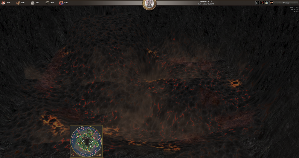
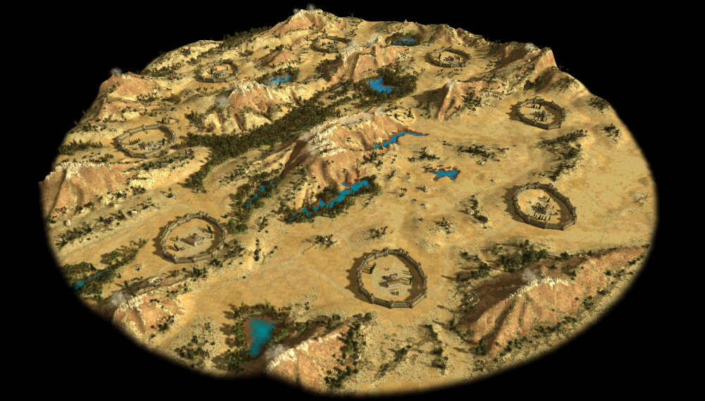
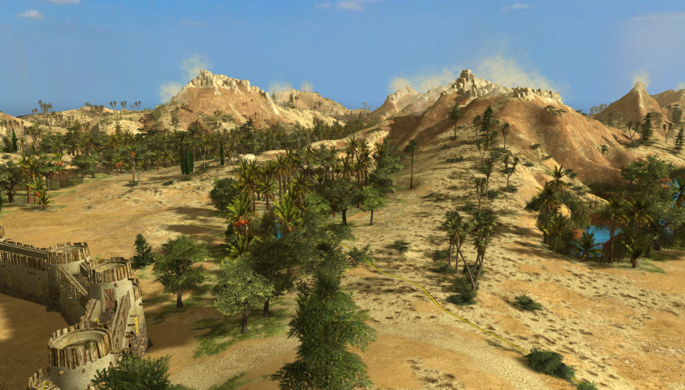
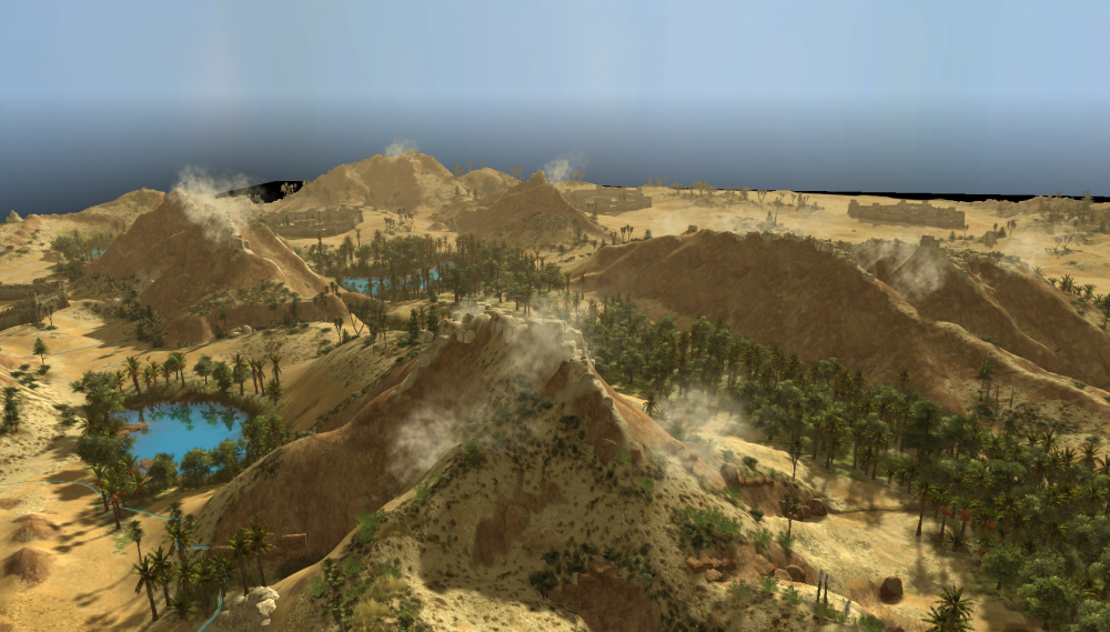
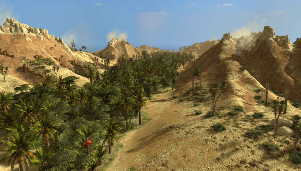
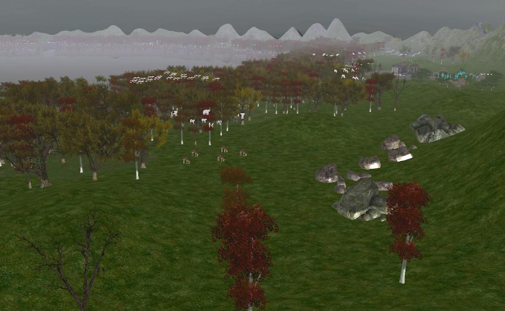
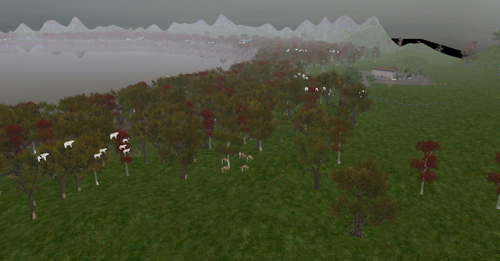
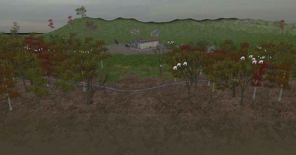
I believe it looks like a new map or they might be showing that it has better unit pathfinding while in formation.1 point
-
1 point
-
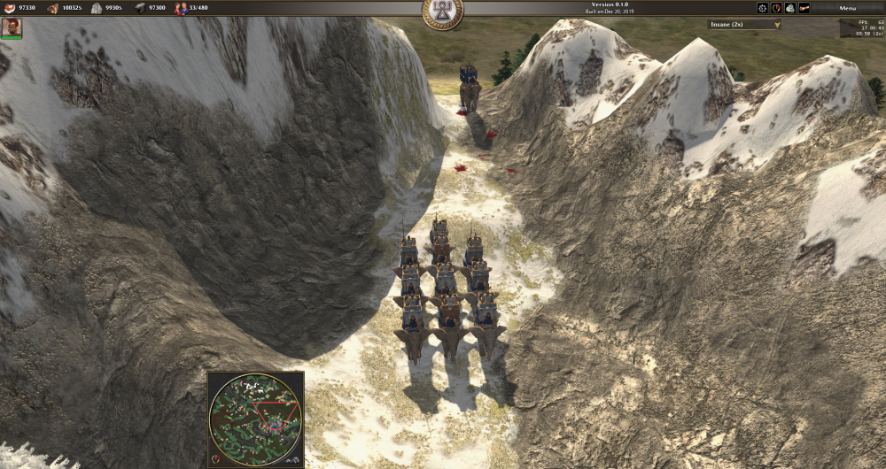
Hannibal's elephants in the Alps? That is the Charthgean emblem on the top bar. Enjoy the Choice1 point
-
If it's because of an Intel card driver, then it should be fixed for most cases in A24.1 point
-
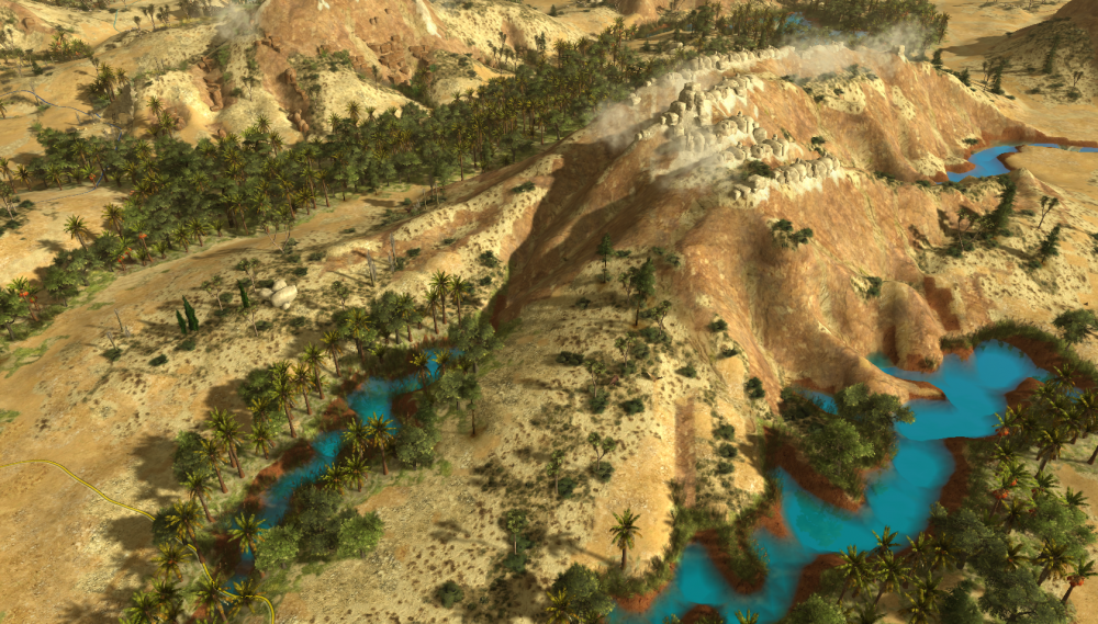
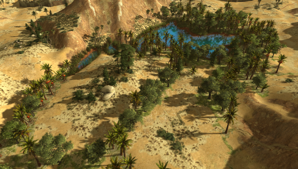
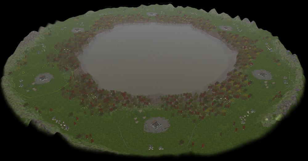
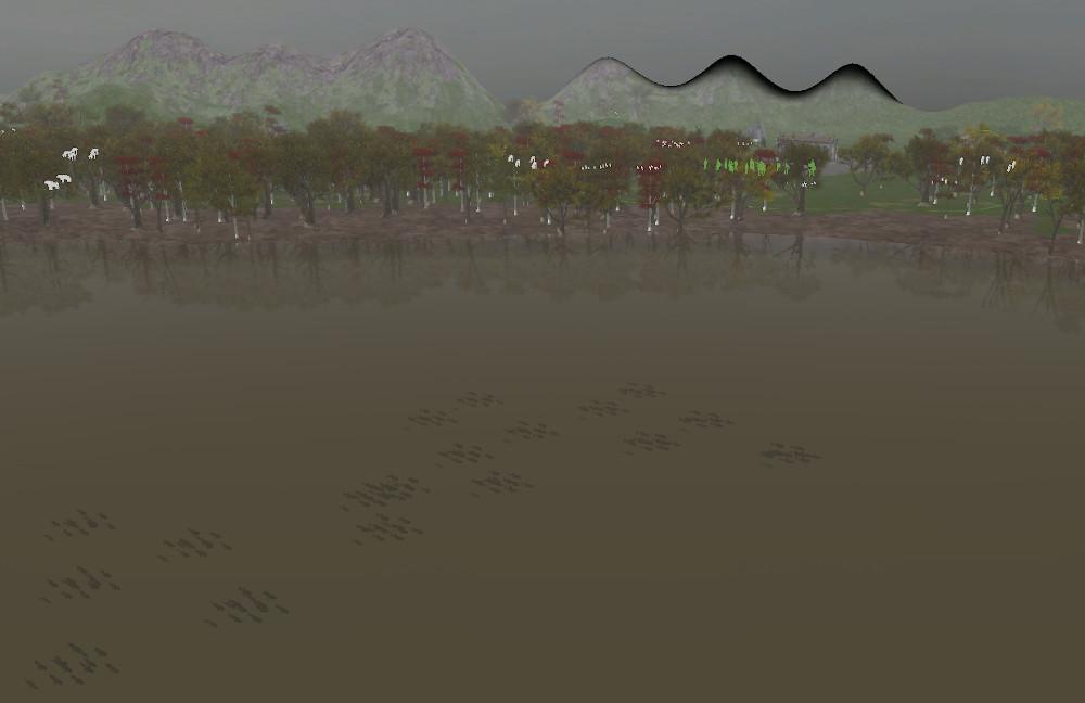
Just updated the mod on the git repo. I will update it on mod.io when we reach 50 maps. Six more to go. --- By the way, @Marcus Brutus Bombastus, just played the map, it is really cool and fun to play! Congratulations on the work!1 point
-
1 point
-
1 point
-
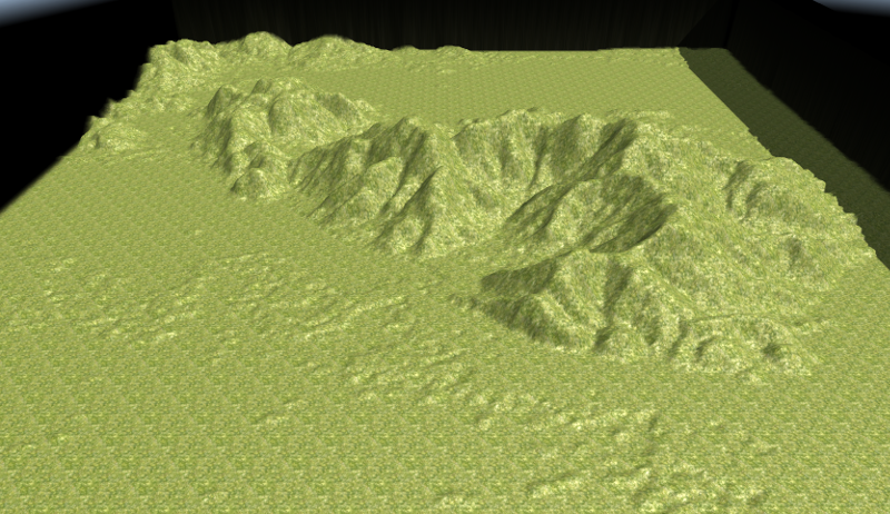
Hi, @Palaxin Is already an excellent guide , I quickly posted that data for two reasons: - From the Main Page also get access to a Research Database, where data collection is very rich, has a choice that ranges from 1 to 3 and 15 seconds of arc, one that I linked has some areas of Europe with precision a second of arc. - With GDAL I saw that the data can be extracted with various parameters, but I have not studied further, and more - this could be of interest to programmers - it has a variety of cross-platform API to use and open source, but I do not know how to use them Atlas; It is used in several GIS systems and for the construction of maps in 3D. When I have a little time on their hands to see further data extraction and various export formats, I also see for bathymetric. Keep in mind that the test I made was "on the fly" and not to make too harsh heights have limited the range of gray (256) to a number of 52 starting with 2: 2: 2 to 54:54:54 at the time extraction in Tiff. I made a scaling, and this is the result first test in the mountains where I live and which I know well: These are the files used (Including those of Atlas): Files Serra.zip I just tidying things ... will let you know, I think if we can make it as easy as possible the creation of maps close to the real, many will be even more interested in the game and participate in the development . Greetings to all, good job and have fun.1 point



.thumb.png.ce58cea22940c255f5b0a735d5abee36.png)
