Leaderboard



Popular Content
Showing content with the highest reputation on 2026-08-19 in all areas
-
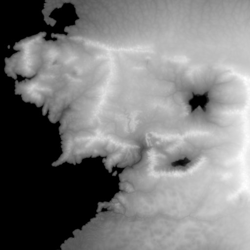
You can find the new version of my mod on mod.io: https://mod.io/g/0ad/m/earth-maps These are the files of this map. The file mordor.json goes in: ~/.local/share/0ad/mods/user/maps/random/rmbiome/mordor/ for linux. middle-earth.json middle-earth.js mordor.json
 6 points
 -
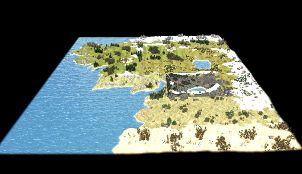
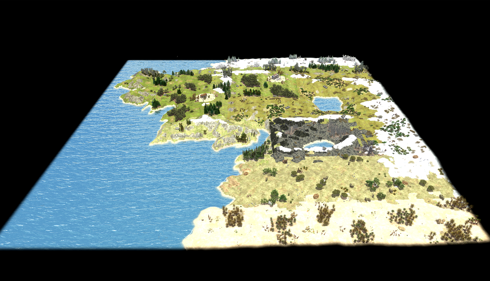
Biomes This map reconstructs the geography of Middle-earth on a real heightmap, divided into twelve climate zones that follow Tolkien's continental layout from north to south and west to east: Forodwaith (arctic), Angmar and the transitional Shire–Lothlórien border (alpine), the Shire and Lothlórien proper (temperate), Rhûn and Rohan (steppe), Gondor (Aegean/Mediterranean), Mordor and East Mordor, and North Harad and Harad (savanna and desert) to the south. Each zone is painted with its own biome, giving the continent genuinely different terrain textures, vegetation, and wildlife rather than a single palette reused everywhere: pine-covered alpine slopes around Angmar, temperate forest and farmland in the Shire, open steppe grassland across Rohan and Rhûn, Mediterranean scrubland in Gondor, and a dedicated custom biome for Mordor itself, distinguishing it visually and ecologically from the surrounding desert and steppe zones. Player starting positions are placed avoiding deliberately Mordor, keeping it a hostile, resource-marginal region rather than a viable base location, in keeping with its role in the source material. Visually, the map uses a warm, slightly desaturated sun tone against cool blue-green water, cumulus skies, and a light HDR tonemap with reduced saturation and moderate bloom, aiming for a muted, epic tone rather than the high-saturation look of the default temperate presets. Source materials Thanks to u/enpremi for his heightmap: https://www.reddit.com/r/lotr/comments/1avfmuw/high_resolution_middleearth_heightmap_link_in/ and to u/William_MM for the climate division https://www.reddit.com/r/imaginarymaps/comments/c5mzt9/oc_climate_map_of_middleearth/ This is my rielaboration for 0 A.D. base-1000.svg It is a 1000×1000 Inkscape overlay traced on top of the source heightmap, with one labeled rectangle per region (Forodwaith, Angmar, Shire, Lorien, Rhûn, Rohan, Gondor, Mordor, East Mordor, North/South Harad). Pixel coordinates read off this overlay were converted to the fractional `Vector2D` bounds (`fractionToTiles(...)`) hardcoded in `middle-earth.js`. It has no in-game role. Labels in .svg and in the .js script are informal working notes (a few are Italian).
 5 points
 -
A proposed upgrade for Han houses: The Tower House +5 population bonus +5 vision range +1 projectile (short ranged attack added)4 points
-
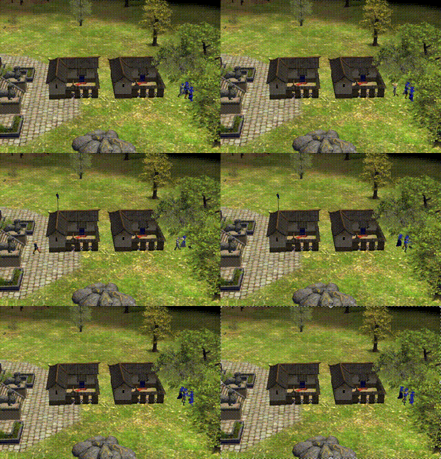
Teleportation gathering!
 2 points
 -
Concept for a new Temple design? New Civic Center design?2 points
-
Really cool work here2 points
-
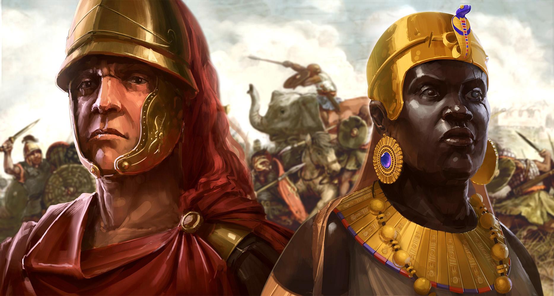
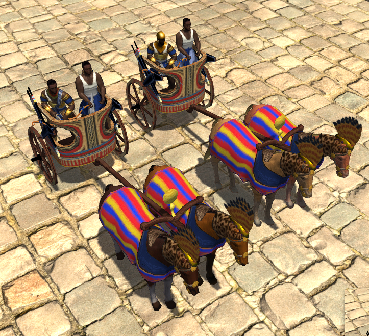
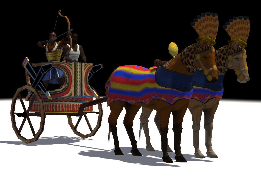
It didn't seem right to me for the Kushites in 0 A.D. to lack a chariot unit (other than the Amanirenas hero unit), considering that they're the closest thing to non-Hellenized Egyptians in the game and chariot archers are so iconic for the Nile Valley civilizations. Ergo, I created a "Noble Chariot Archer" unit that the Kushites can train from the Stable after researching Champion Chariots. I'm posting it here on request from someone on Reddit. kushite_chariots.zip
 1 point
 -
Looks pretty OP! I will have to PM you to see how you are using AI. Wondering if I can share the updated manual with you when we make changes and if that can change stuff on the website. For example, currently Legacy of Marathon is not an Athens tech. But if we bring it back you would just have AI scan that manual and make changes?1 point
-
Unfrotunately i cannot give two hearts1 point
-
Yep! "Slave Trade" is another one of their techs/team bonuses: Effect: Allied Slaves -50% train time as long as the Scythians maintain a Market.1 point
-
1 point
-
We now try to release roughly at the same date each year. We don't wait till all issues with that milestone get implemented. We would push them back. Almost certainly there will be no new civ in the next release.1 point
-
thanks guys! now its working, now i will look forward for contributions.1 point
-
I think there is already a random map generator, it's the random maps category I think there is already a macedonian campaign someone made floating out there. I know @Vantha has been getting all the coding stuff in place for a new tutorial that would be exactly this except I think it'll have four scenarios. I think all the features you requested @lilypoppy are in the works, but if you wanted to get started on your own campaign it wouldn't be too difficult to start, write out your story, start making the maps. When the rest of the features get added there may be some light scripting to do but then it'll be ready!1 point
-
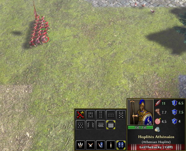
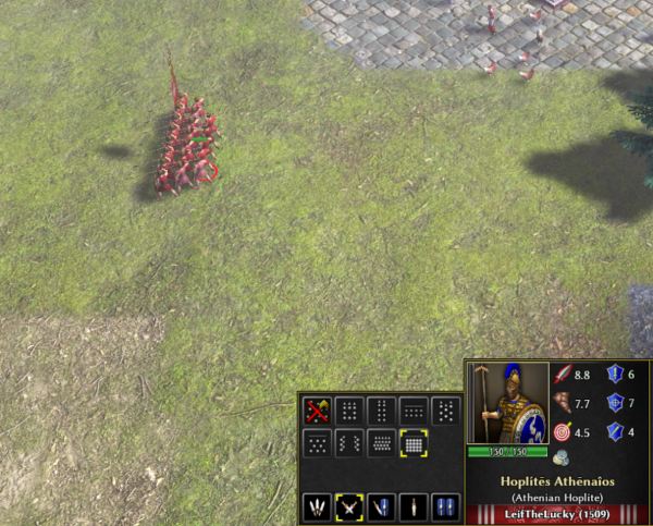
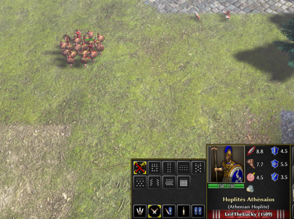
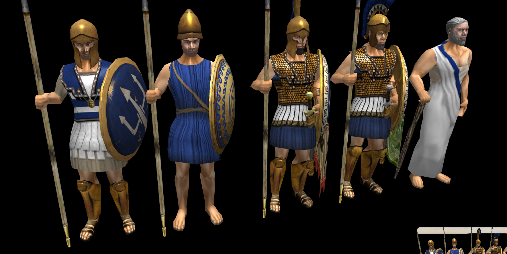
@Asher here are three examples of Athens Spearman. Keep in mind you still can't attack in formation, and brace is stand guard. So if you are in Phalanx and Brace, you only receive the extra resistances until you engage. You can't move with both of them because brace is 0 movement.
 1 point
 -
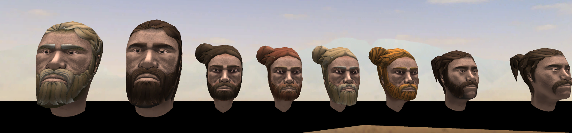
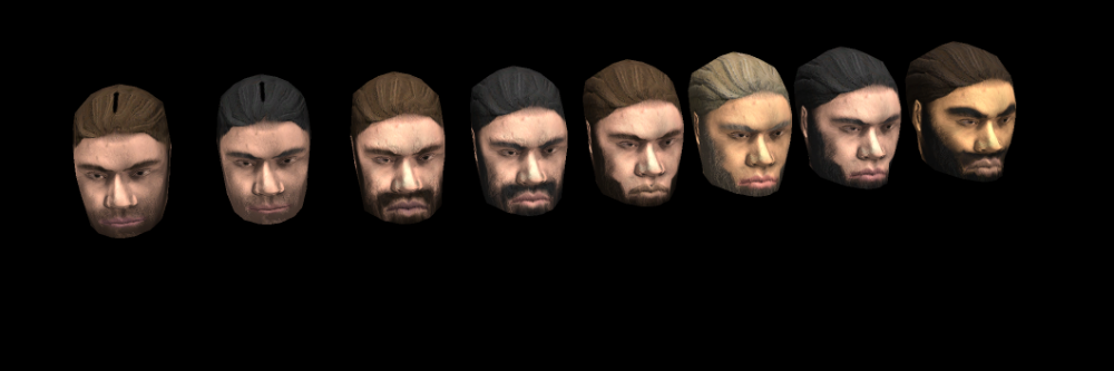
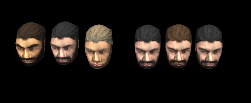
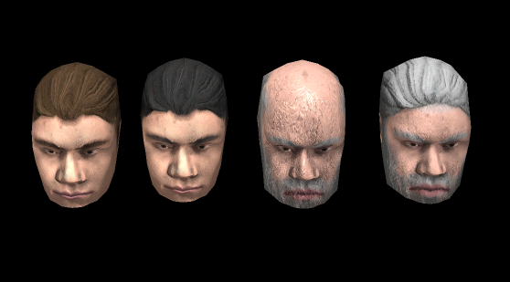
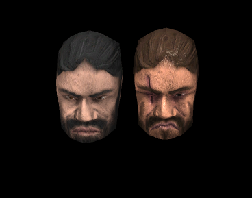
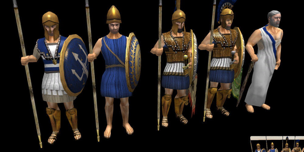
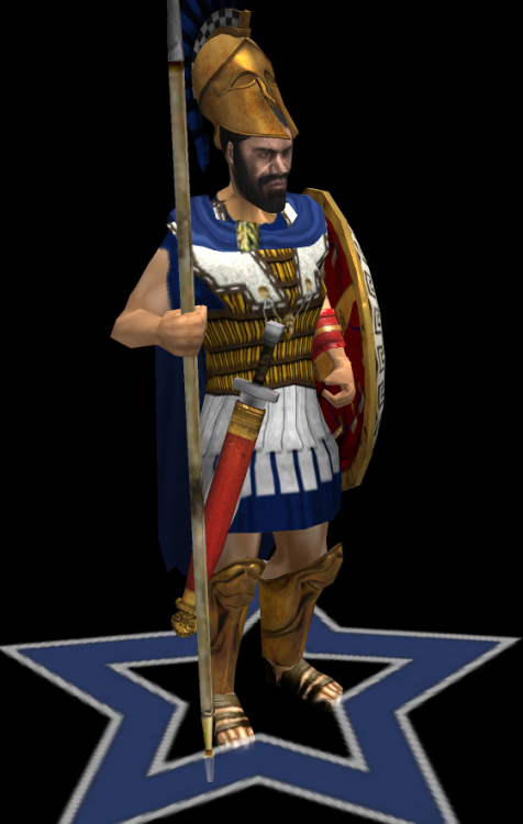
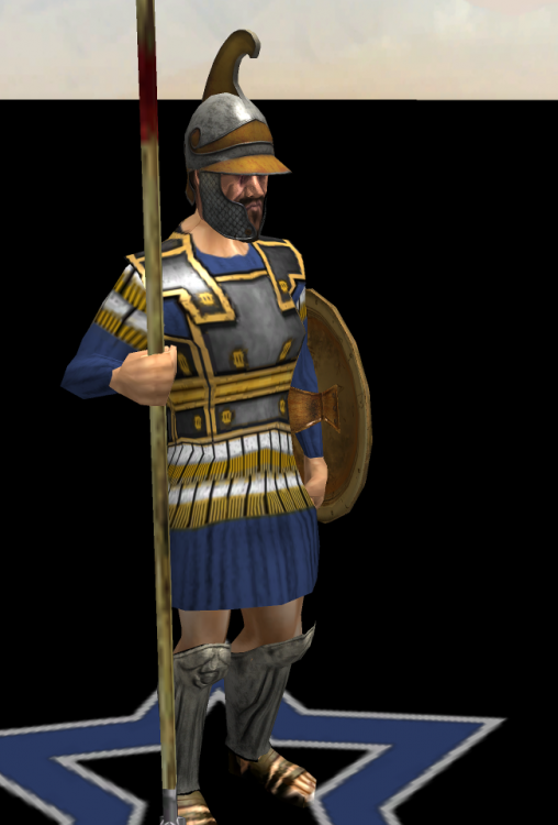
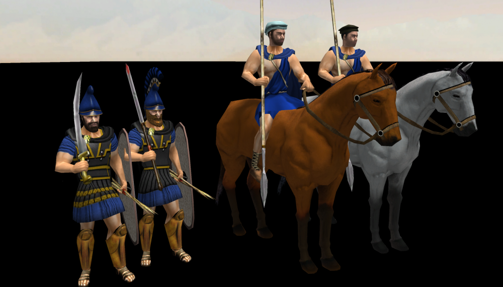
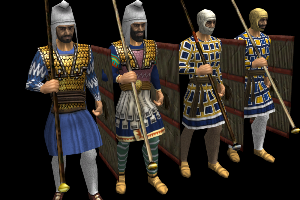
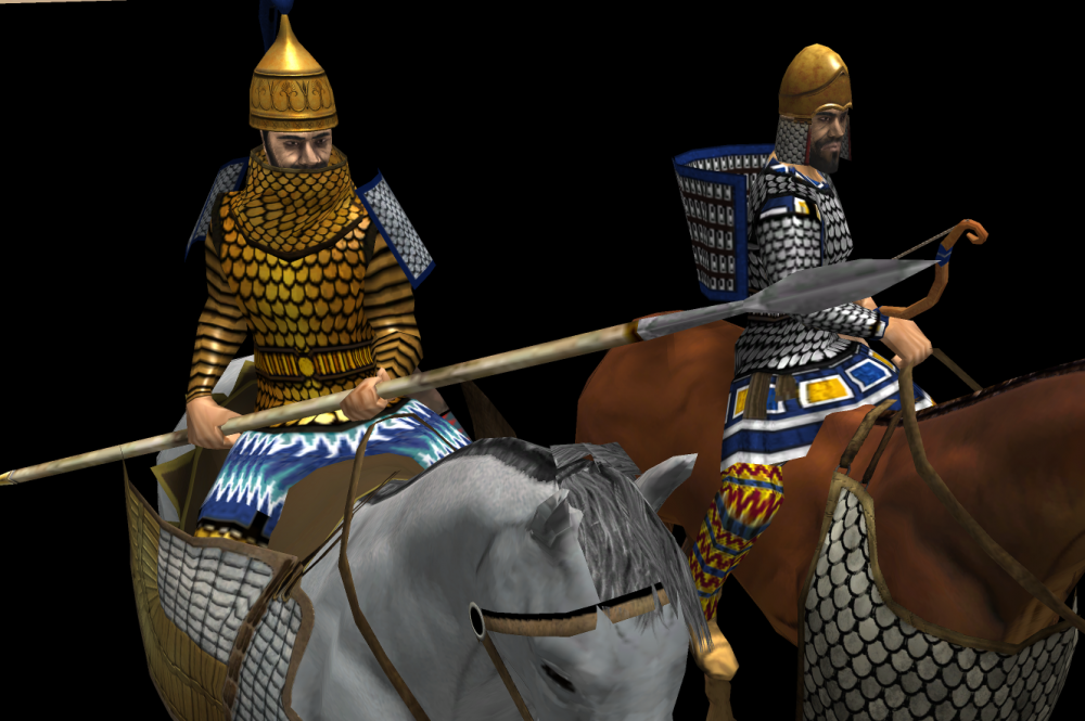
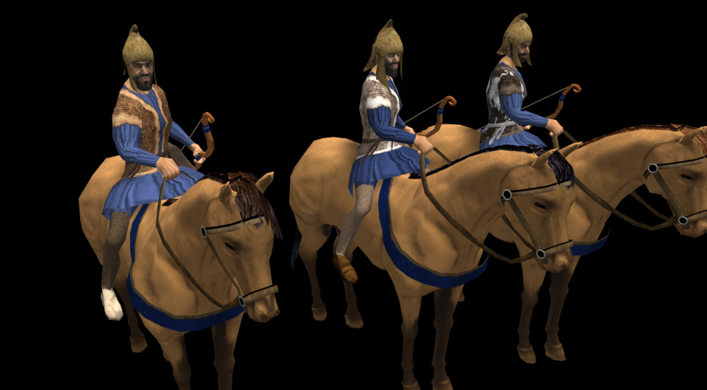
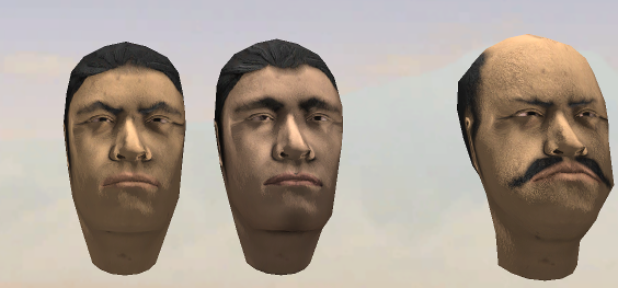
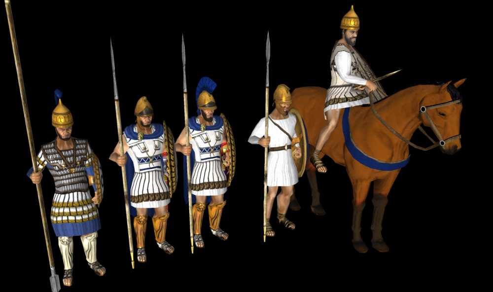
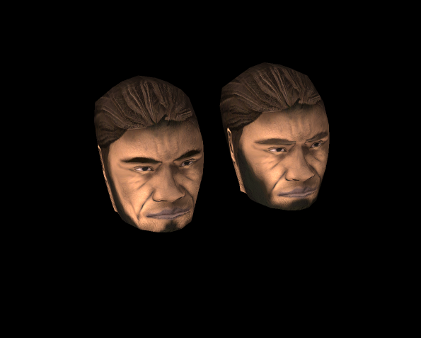
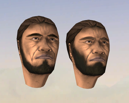
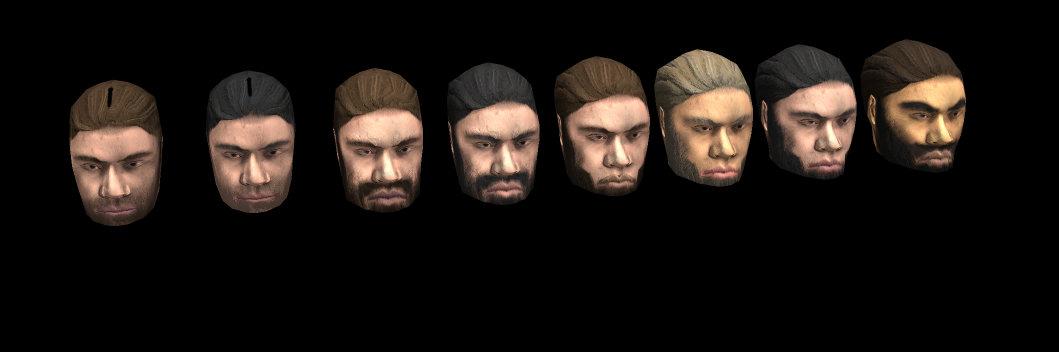
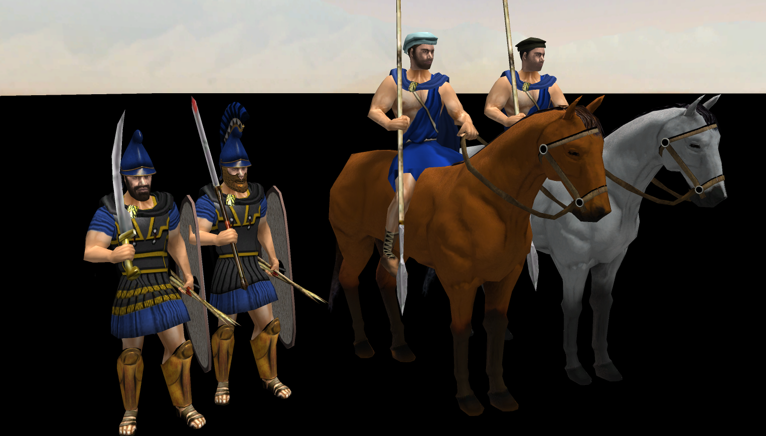
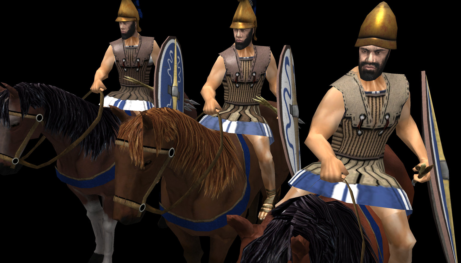
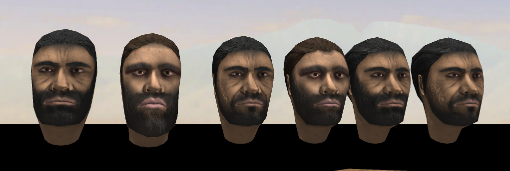
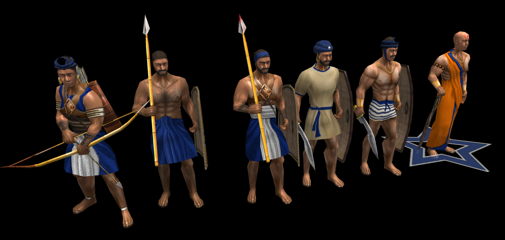
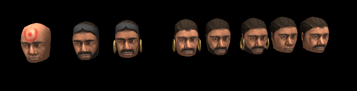
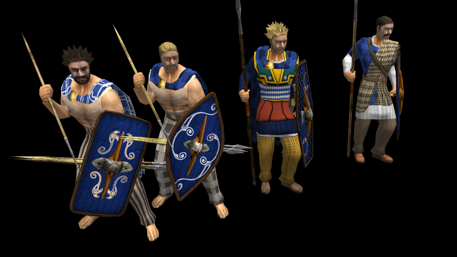
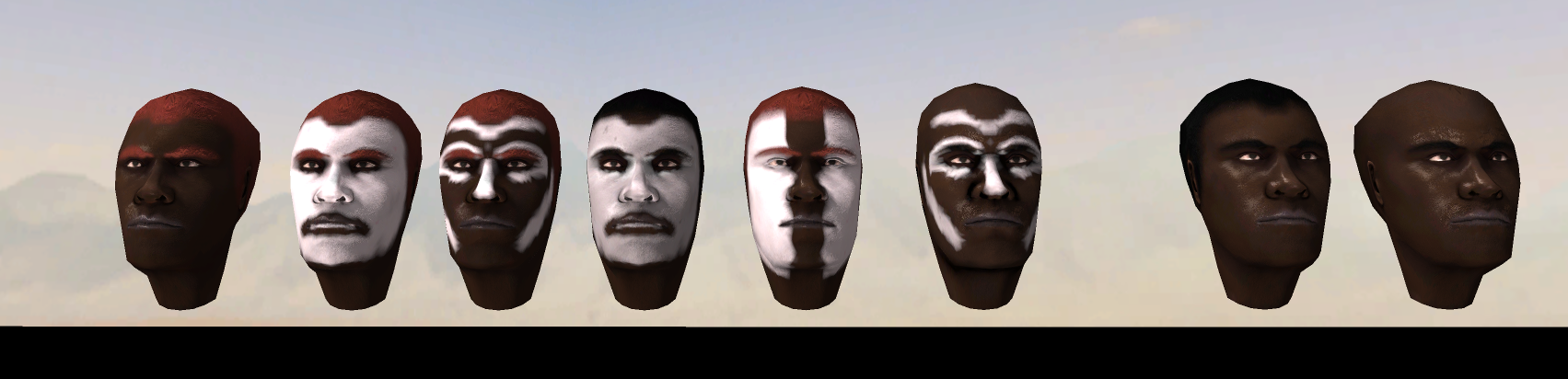
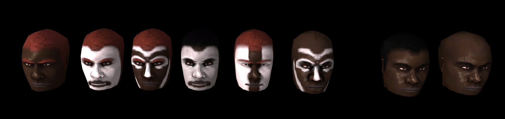
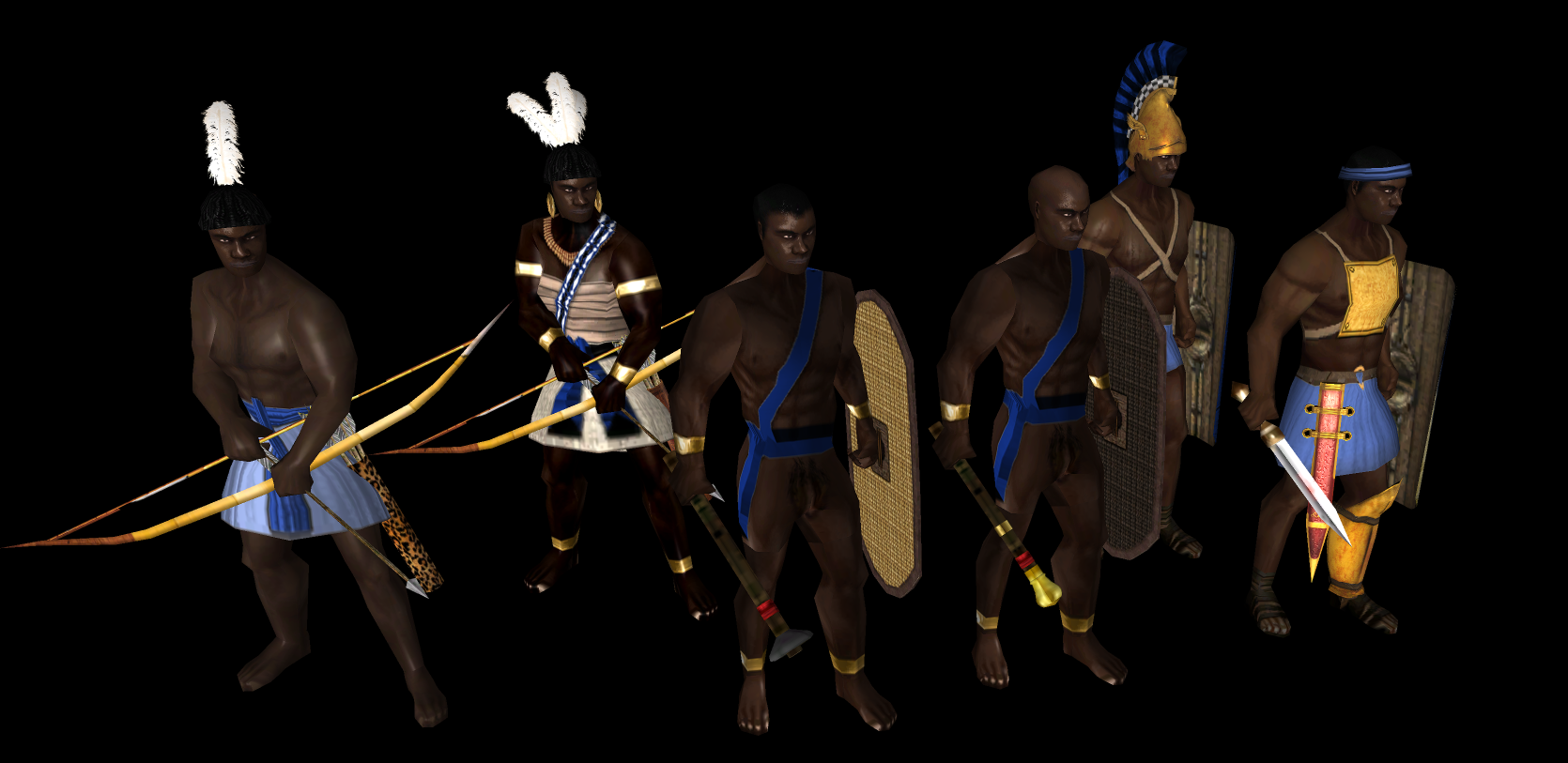
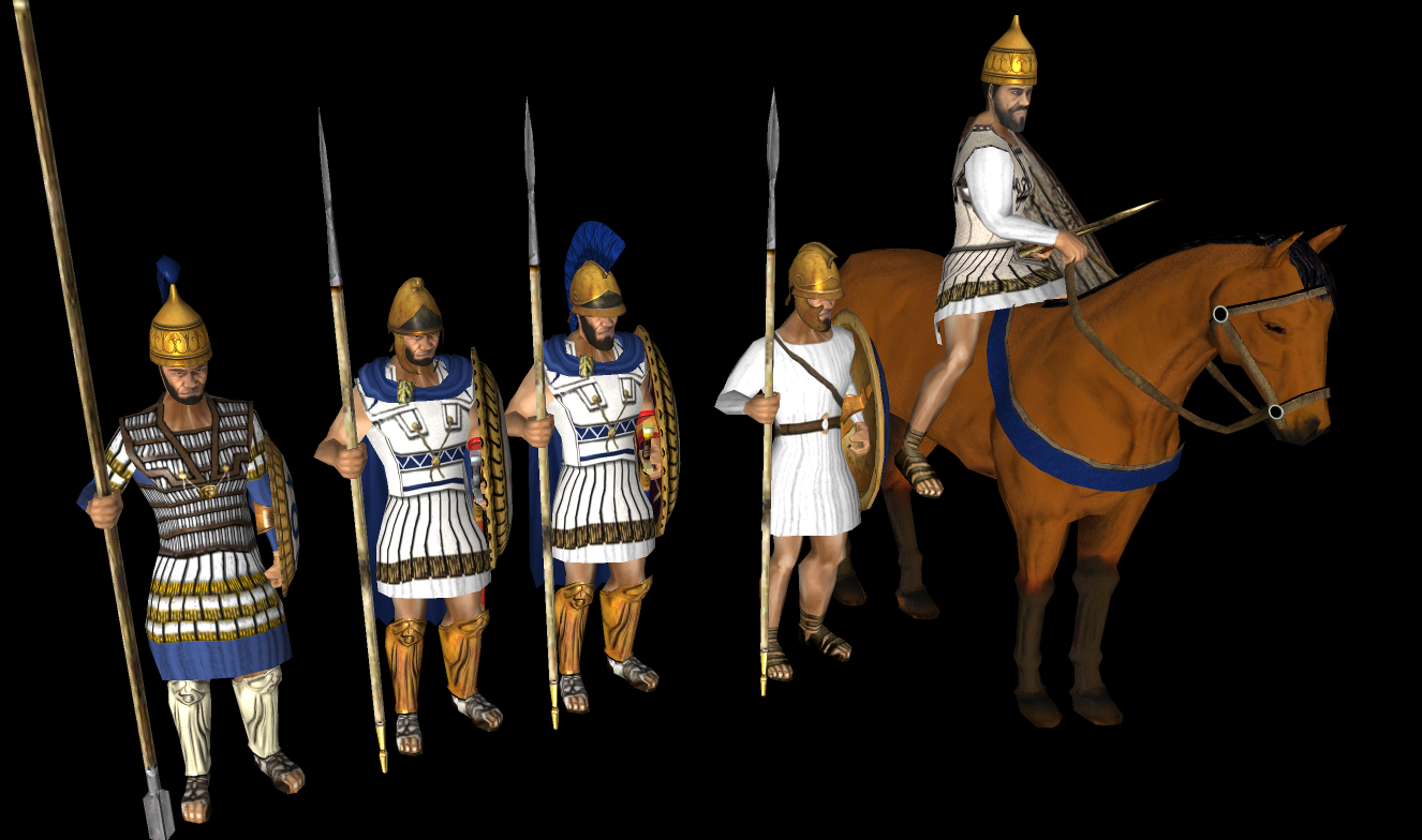
Addition of civilization specified head's by following the current schema. Currently missing only iberian's By the meantime since im updating actor's i took the opportunity of adding the combat variant to each melee infantry to add more immersion to the battle's. Now the actor's will play ready variant animations while approaching an enemy if selected to attack directly or using the attack-move order. I would like to add in the UnitAI component the combat state if the entity has selected the Aggresive stance so it will make a visual difference. Head was generated using blender provided human free assets. Here some screenshots: Hellenic: Achae: Han: Maur: Celt: Kush: Cart/Ptol: Combat variant Showcase:
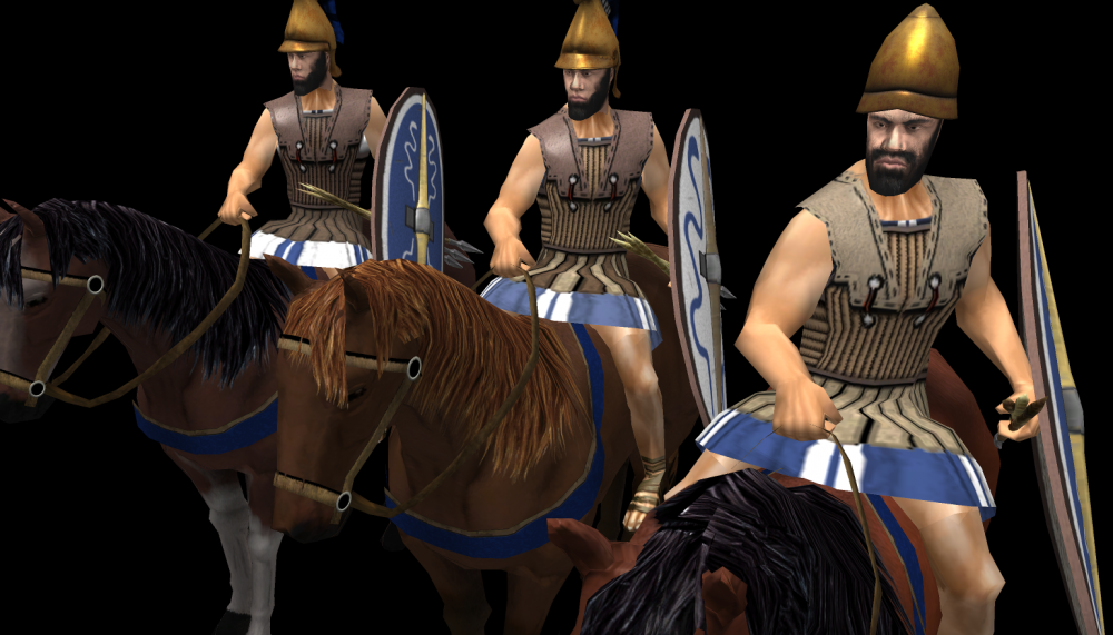
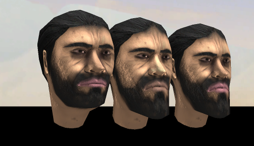
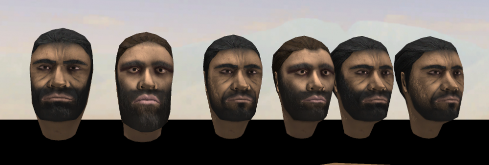
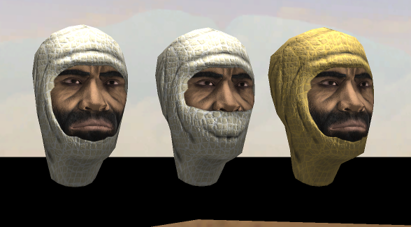


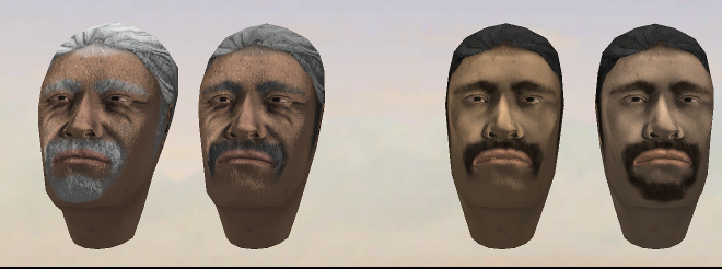
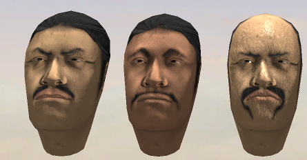
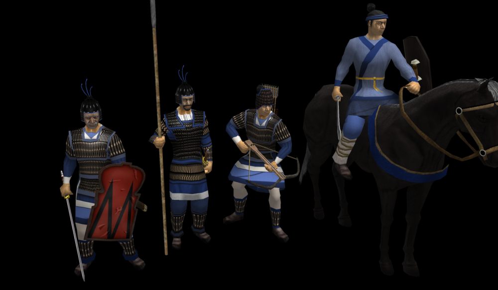
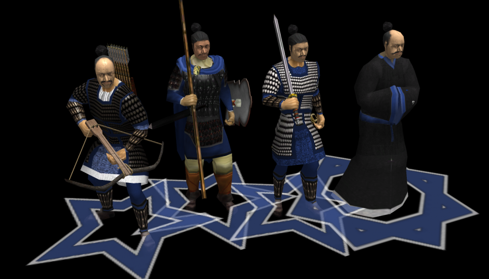
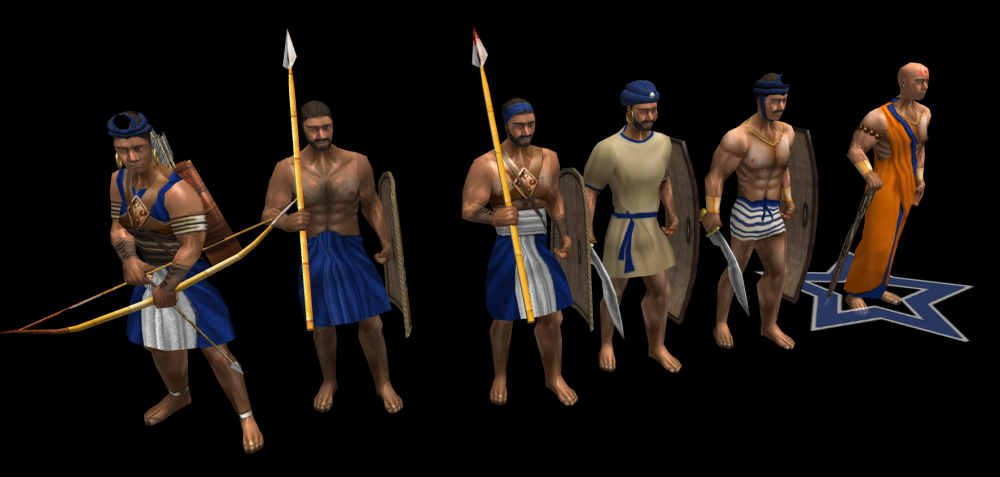

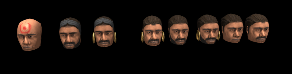
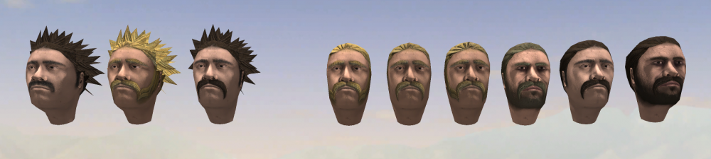
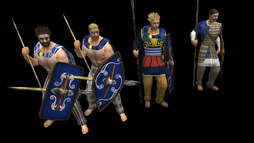
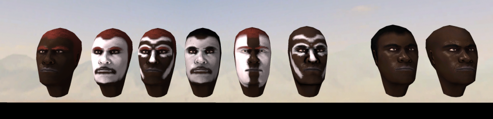
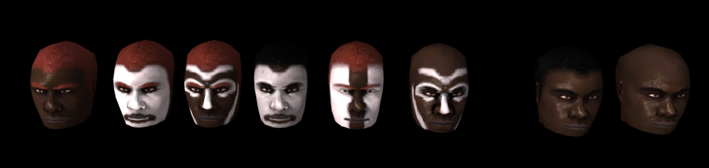
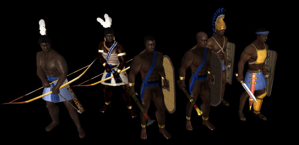
 1 point
 -
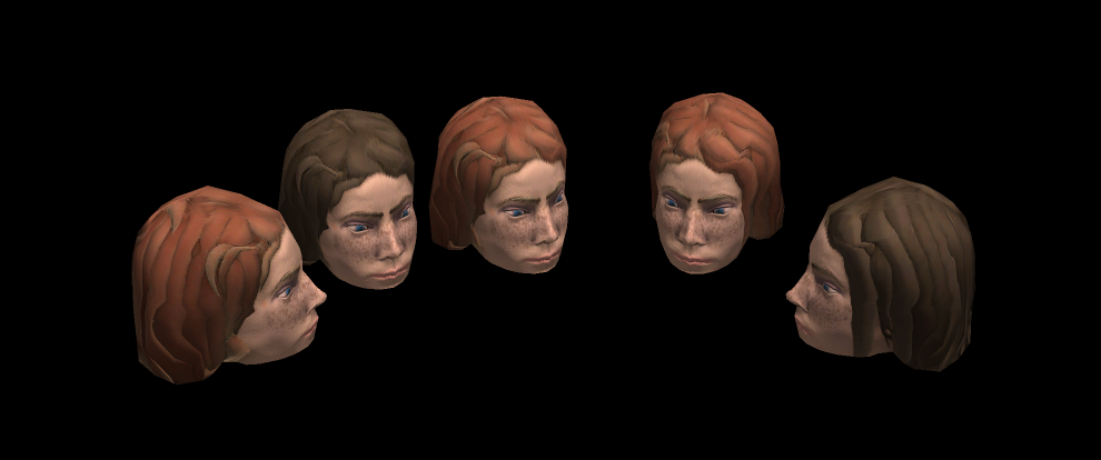
Wasn't the normal, was some random vertex on the mesh:
 1 point
 -
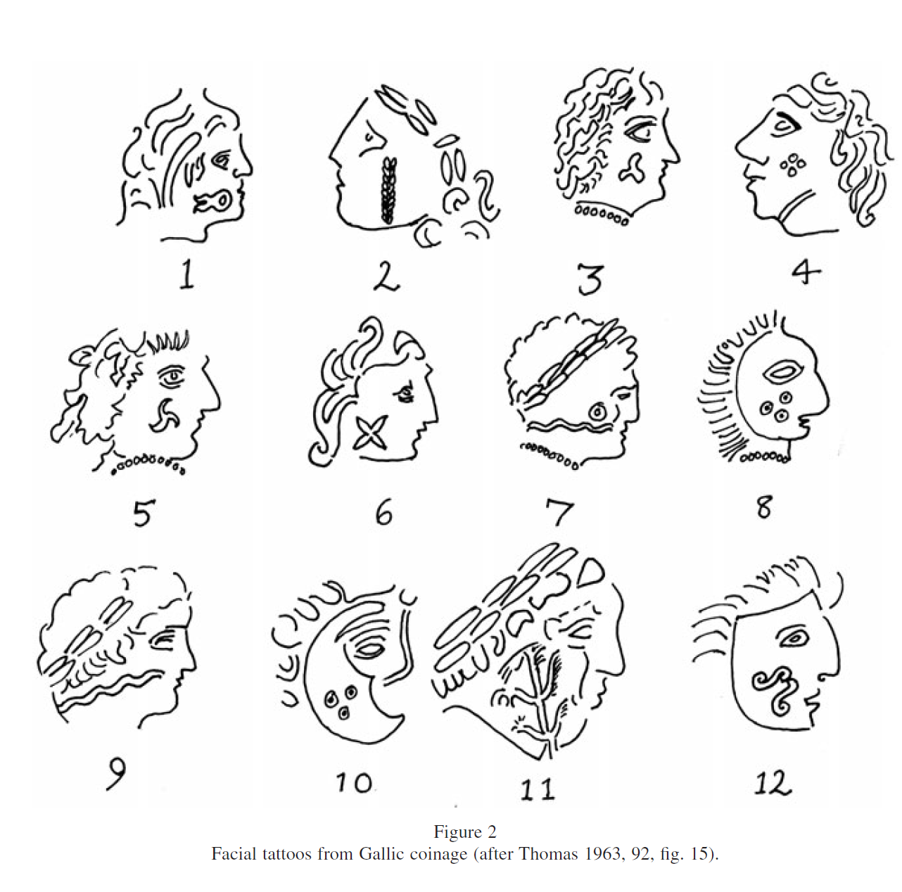
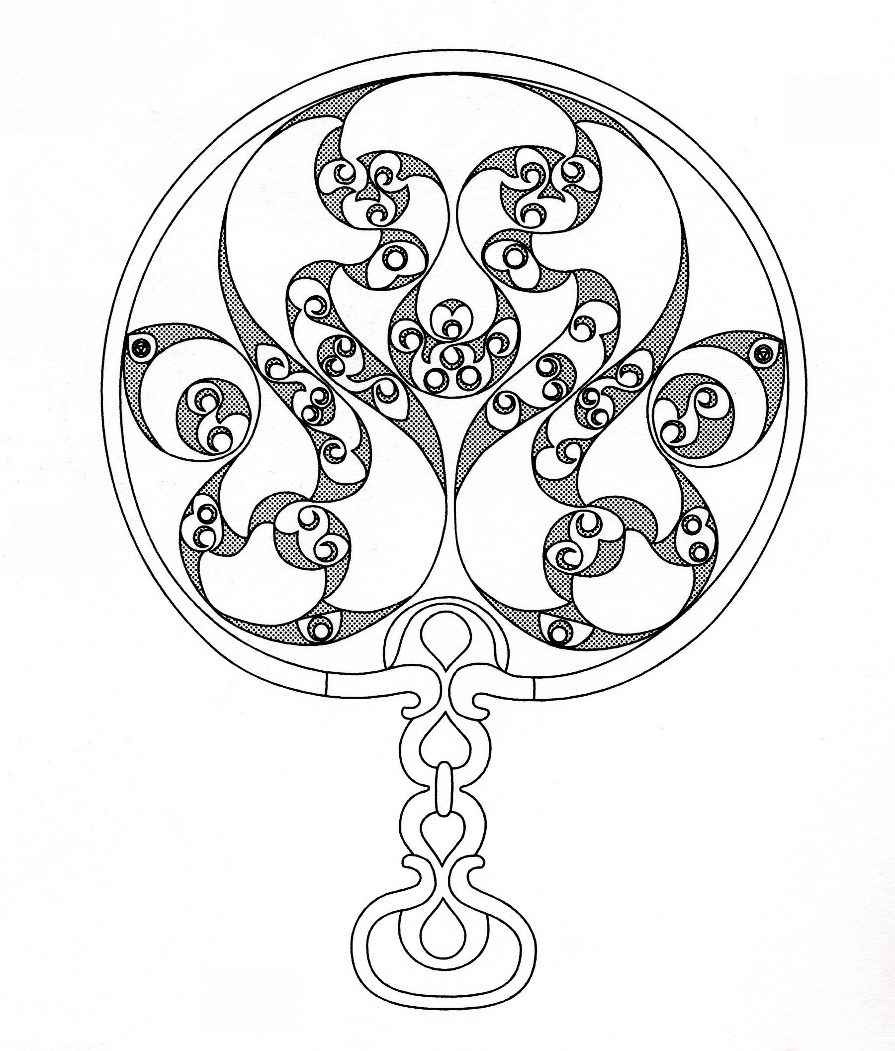
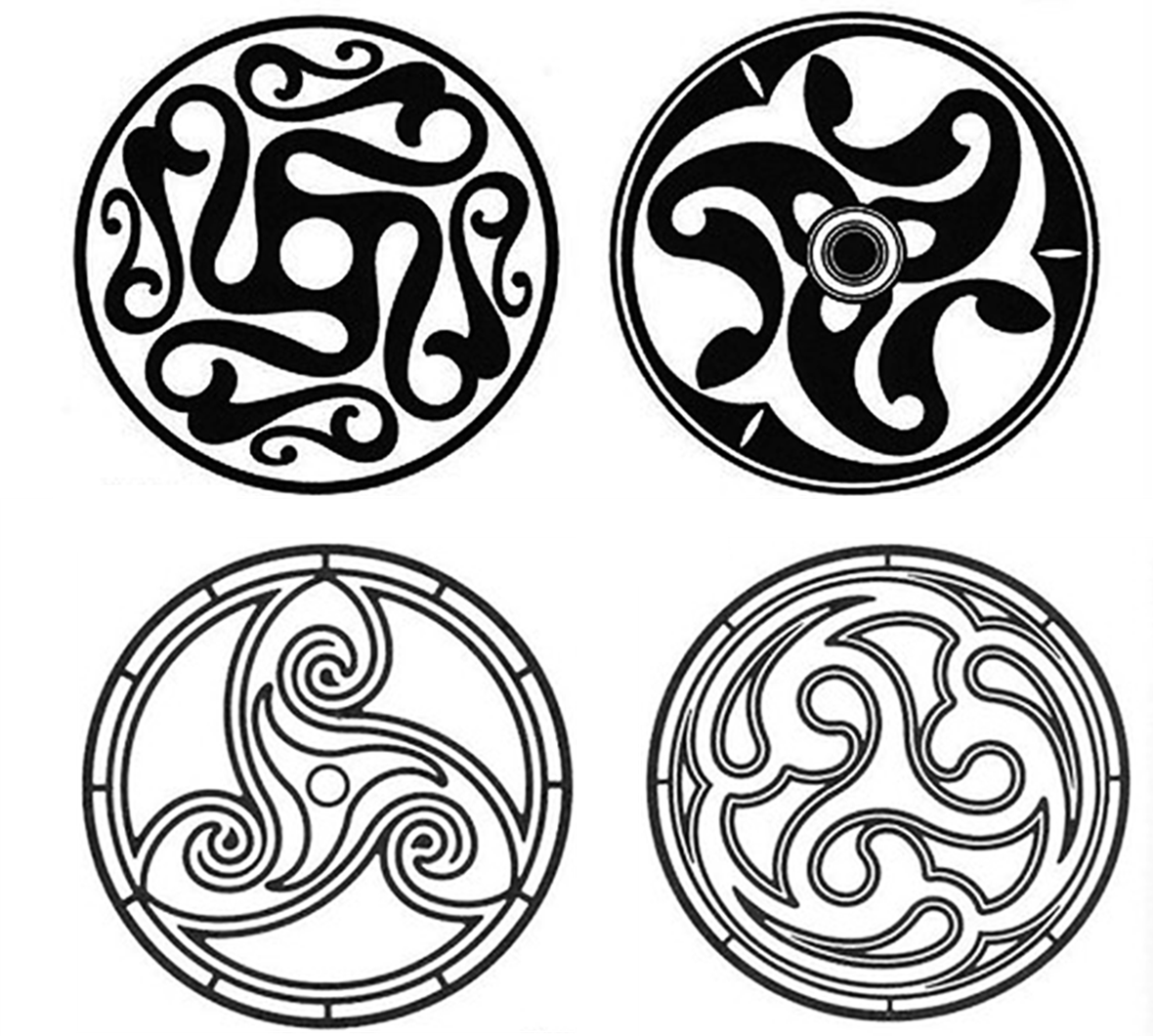
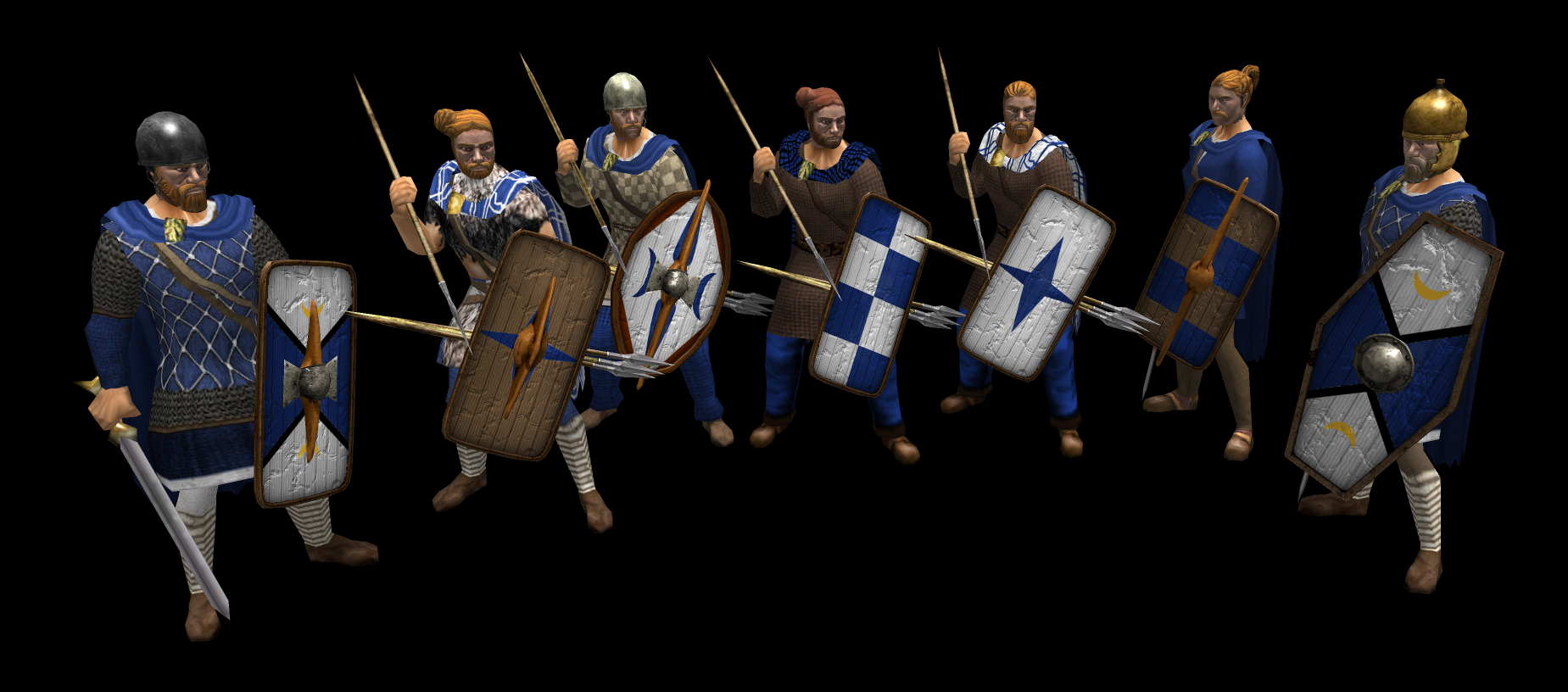
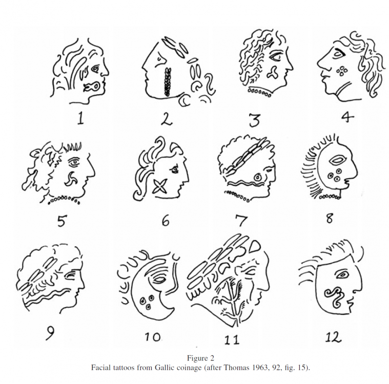
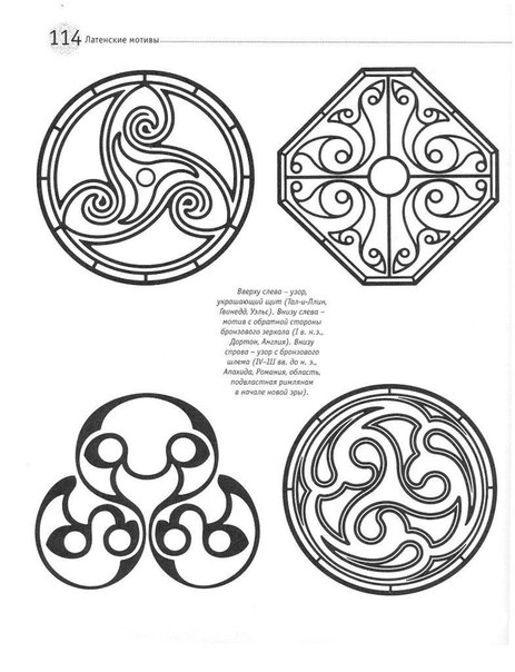
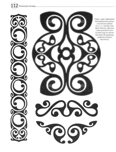
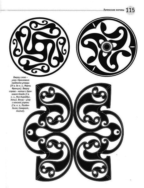
The Britons adorned their bodies with either tattoos or body paint; it is highly likely that they covered their faces. The composition and color of these pigments are a matter of debate. They may have been blue, green, or red. The designs applied to the body are not known from historical accounts. I suggest using simple symbols inspired by those found on certain coins. The colors could match the player’s colors
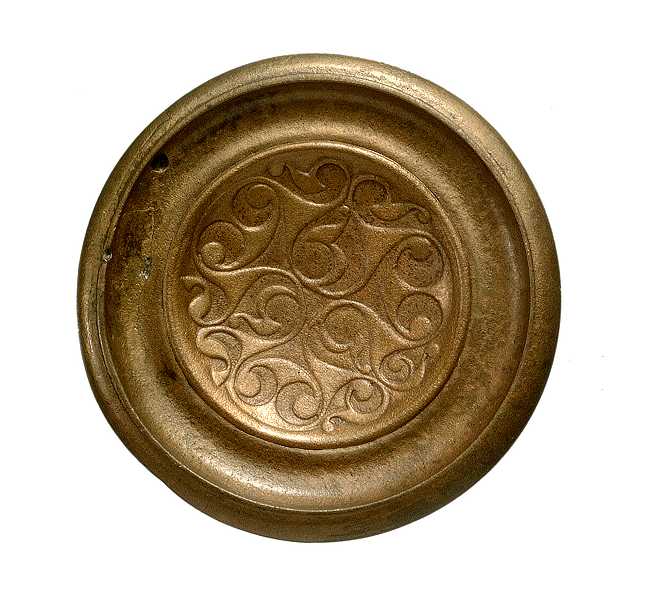
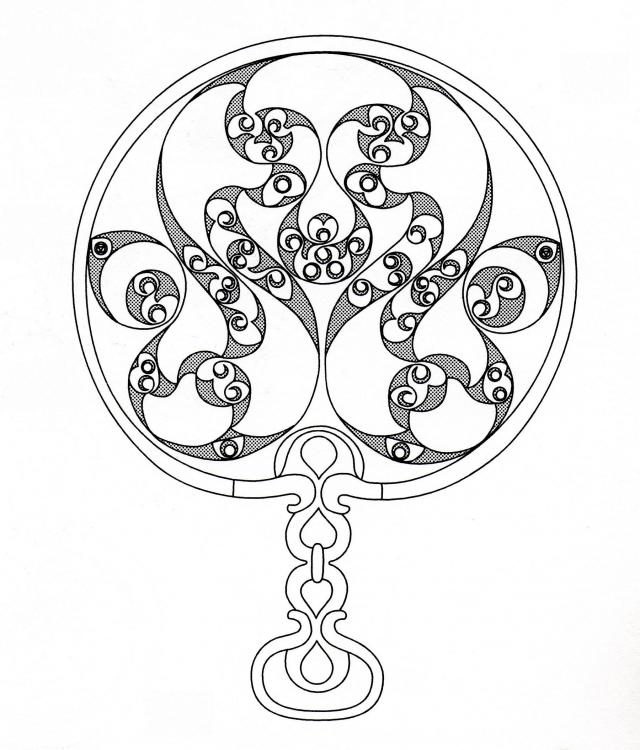
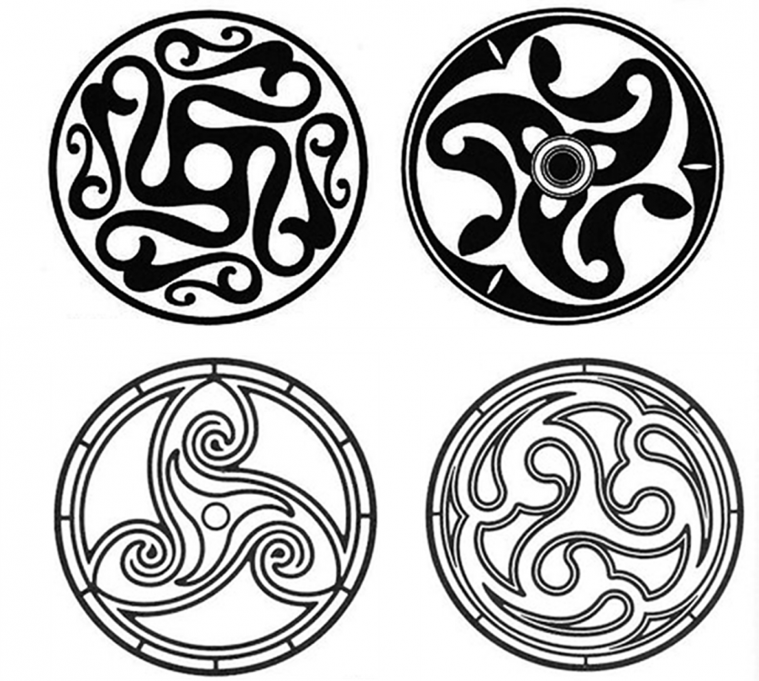 1 point
 -
German ladies look like they pulled an all-nighter at Berghain with those eye bags1 point
-
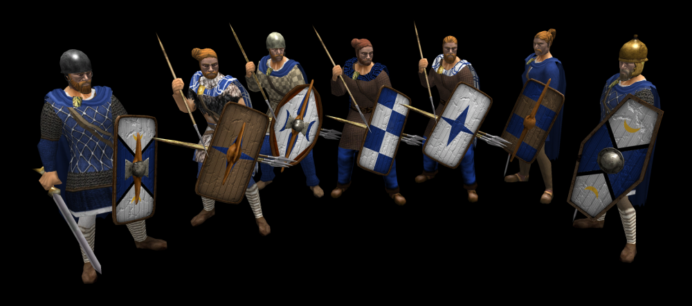
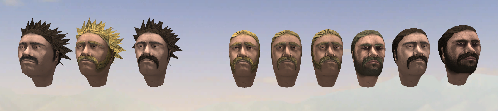
Germans:
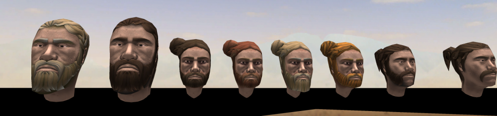
 1 point
 -
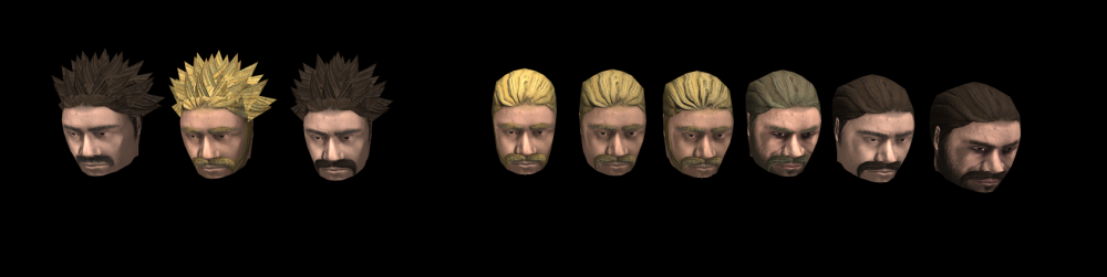
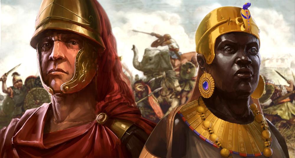
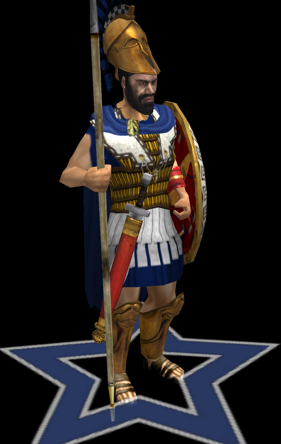
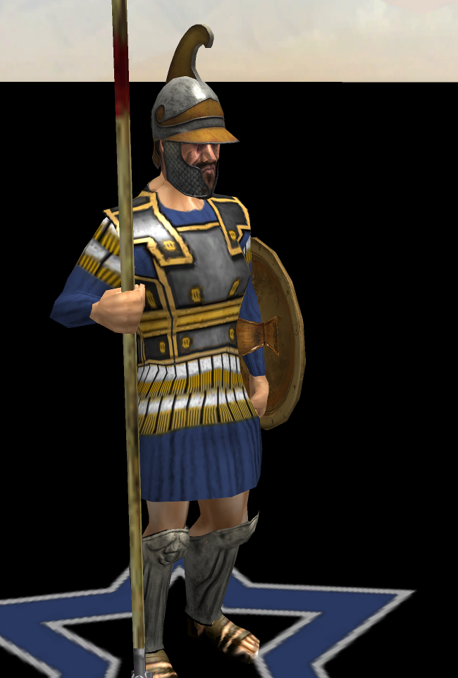
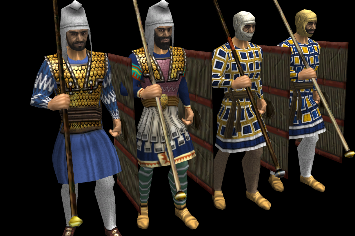
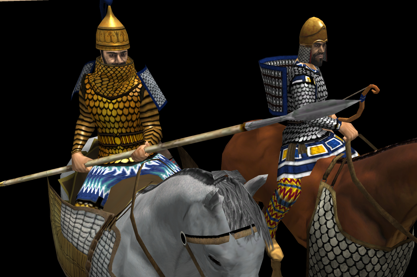
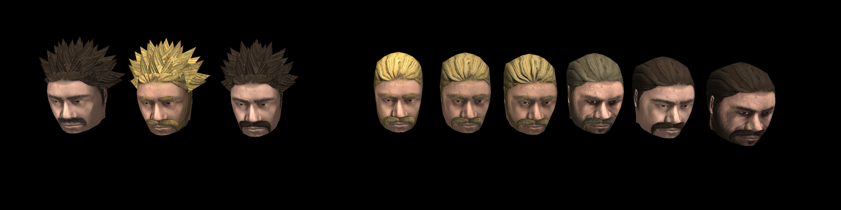
Quick color adjustment to make the gold look more gold:
 1 point








.thumb.jpg.b21ca1d0c15fb56b42c39b25a0a40815.jpg)