Baelish
-
Posts
77 -
Joined
-
Last visited
-
Days Won
2


Baelish's Achievements

Discens (2/14)
68
Reputation
-
At the time: FINISHED: the blender mesh TO DO: optimize the texture to fill all the 64x64 image TO LEARN HOW TO DO: animations But I am confident, because till the previous week I had never used blender.
-
No, there is the walrus. If anyone wants to collaborate I'll submit all on my github repo. You can also give me some advices on github issues.
-
Hi, I hope that you know my world map. For the first time I want to create new entities for custom biomes. Is there any similar project for american, asian or oceanian fauna and flora? Maybe a guideline for a list of entities that could be useful for the community, because I don't want to reinvent the wheel. (I've already red guidelines about markers' number limitation and textures format and size.) Claude wrote this for me, please share with me your opinion. Tropical Rainforest (Congo, Amazon, SE Asia) Fauna: jaguar, tapir, sloth, coati, macaw/generic parrot, poison frog (small decorative) Flora: kapok/ceiba with buttress roots, climbing liana, tree fern, epiphytes/orchids (trunk detail), banana palm Tropical Savanna Mostly complete. Nice-to-have: hyena, ostrich, umbrella acacia (shape variant, not new species) Hot Arid Desert Fauna: fennec fox, scorpion (decorative), desert monitor Flora: already covered (palms, thorny acacias). Missing columnar cactus, but that's American — see below American Desert/Scrubland (Sonoran, Chihuahuan) Fauna: coyote, roadrunner, rattlesnake Flora: saguaro, prickly pear (Opuntia), yucca, mesquite Cold Arid Steppe (Central Asia, Patagonia, Mongolia) Fauna: saiga antelope, wild ass/onager, European bison, corsac fox Flora: feather grass (Stipa), steppe wormwood/artemisia, tumbleweed (Salsola — explicitly requested on the official forum) Mediterranean Essentially complete, no priority gaps Temperate Deciduous Forest Complete via existing temperate/alpine biome, no urgent gaps Boreal/Taiga Fauna: moose, reindeer/caribou, lynx, wolverine Flora: spruce, larch — likely reusable from alpine biome, check if current textures hold up at higher latitude Tundra/Polar Fauna: reindeer/caribou (shared with taiga), seal, muskox, ptarmigan Flora: lichen (ground decorative), moss, dwarf willow, dwarf birch Dry Tropical/Monsoon Forest (Yucatán, coastal East Africa, central India) Fauna: peccary, coati, green iguana, toucan Flora: ceiba (shared with rainforest), agave, tropical columnar cactus, royal palm High Mountain/Alpine Fauna: marmot, ibex (if not covered by generic goat), golden eagle as a dedicated model (not the current generic "hawk") Flora: mostly fine with existing conifers Oceanic/Tropical Islands Fauna: crab, sea turtle Flora: already fine with existing coconut palms
-
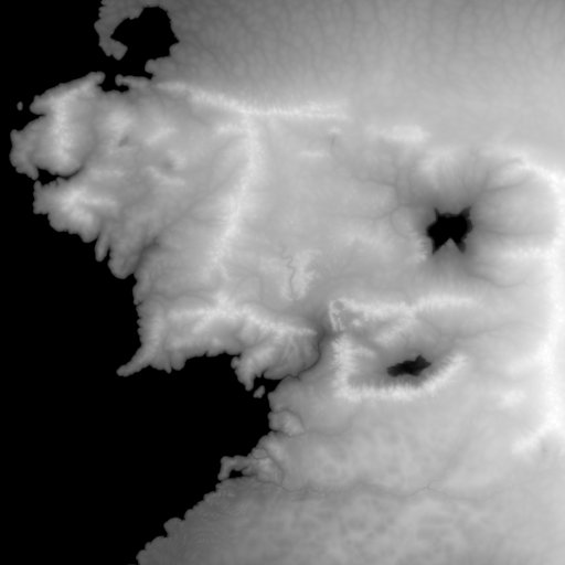
You can find the new version of my mod on mod.io: https://mod.io/g/0ad/m/earth-maps These are the files of this map. The file mordor.json goes in: ~/.local/share/0ad/mods/user/maps/random/rmbiome/mordor/ for linux. middle-earth.json middle-earth.js mordor.json
- 1 reply
-
- 7
-

-
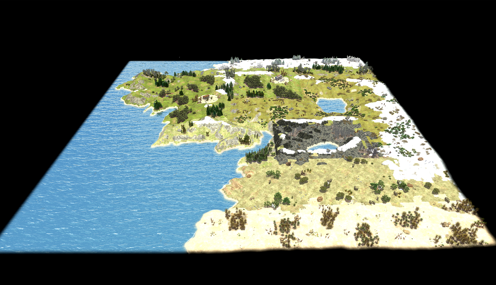
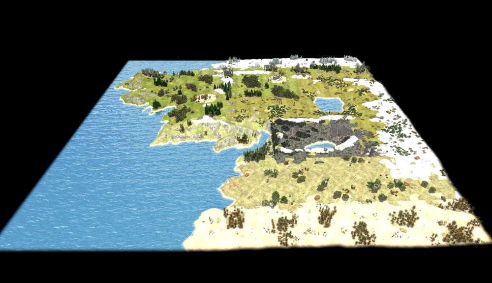
Biomes This map reconstructs the geography of Middle-earth on a real heightmap, divided into twelve climate zones that follow Tolkien's continental layout from north to south and west to east: Forodwaith (arctic), Angmar and the transitional Shire–Lothlórien border (alpine), the Shire and Lothlórien proper (temperate), Rhûn and Rohan (steppe), Gondor (Aegean/Mediterranean), Mordor and East Mordor, and North Harad and Harad (savanna and desert) to the south. Each zone is painted with its own biome, giving the continent genuinely different terrain textures, vegetation, and wildlife rather than a single palette reused everywhere: pine-covered alpine slopes around Angmar, temperate forest and farmland in the Shire, open steppe grassland across Rohan and Rhûn, Mediterranean scrubland in Gondor, and a dedicated custom biome for Mordor itself, distinguishing it visually and ecologically from the surrounding desert and steppe zones. Player starting positions are placed avoiding deliberately Mordor, keeping it a hostile, resource-marginal region rather than a viable base location, in keeping with its role in the source material. Visually, the map uses a warm, slightly desaturated sun tone against cool blue-green water, cumulus skies, and a light HDR tonemap with reduced saturation and moderate bloom, aiming for a muted, epic tone rather than the high-saturation look of the default temperate presets. Source materials Thanks to u/enpremi for his heightmap: https://www.reddit.com/r/lotr/comments/1avfmuw/high_resolution_middleearth_heightmap_link_in/ and to u/William_MM for the climate division https://www.reddit.com/r/imaginarymaps/comments/c5mzt9/oc_climate_map_of_middleearth/ This is my rielaboration for 0 A.D. base-1000.svg It is a 1000×1000 Inkscape overlay traced on top of the source heightmap, with one labeled rectangle per region (Forodwaith, Angmar, Shire, Lorien, Rhûn, Rohan, Gondor, Mordor, East Mordor, North/South Harad). Pixel coordinates read off this overlay were converted to the fractional `Vector2D` bounds (`fractionToTiles(...)`) hardcoded in `middle-earth.js`. It has no in-game role. Labels in .svg and in the .js script are informal working notes (a few are Italian).
- 1 reply
-
- 6
-

-
-
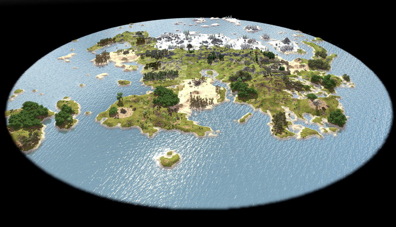
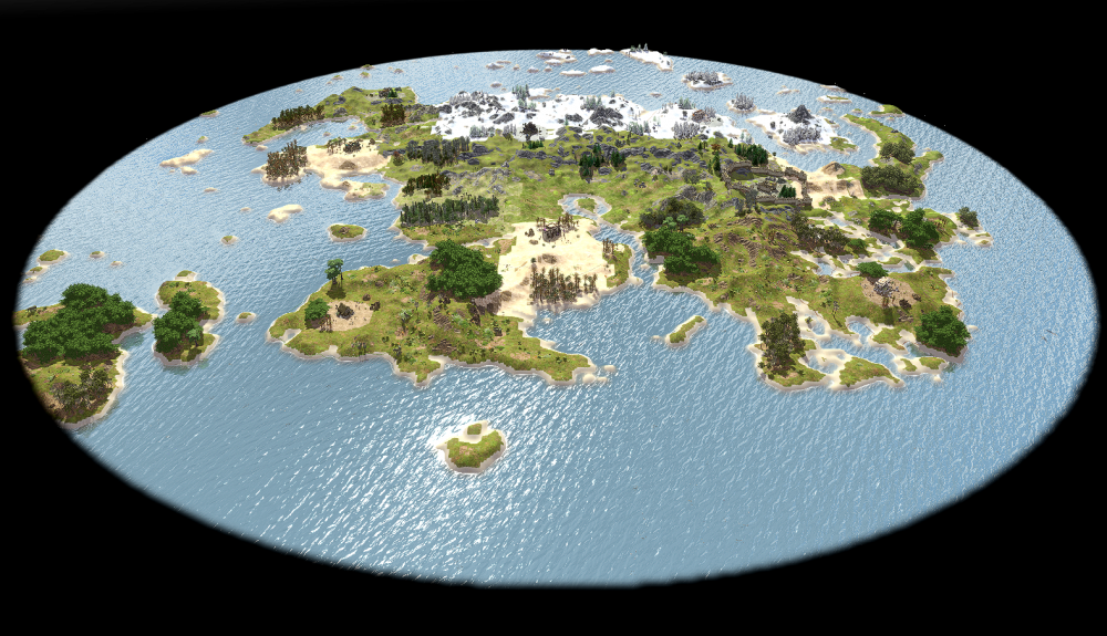
I've been working on a custom random map for 0 A.D. inspired by the continent of Tamriel. It uses a real heightmap to recreate the shape of the landmass, then splits it into distinct climate zones that roughly mirror the regions from the source material: from snowy tundra in the north, to alpine terrain, arid deserts, temperate woodlands, and tropical jungle in the south. The heightmap source is: https://www.nexusmods.com/skyrimspecialedition/mods/573 And I used a simplified version of this work for biomes: I want to thanks both the creators of these artworks. This is the result: And now the sources: tamriel.json tamriel.js You can find it on https://mod.io/g/0ad/m/earth-maps, version 0.28.4

-
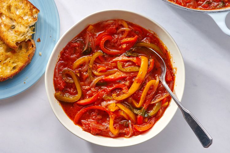
Peperonata https://www.thespruceeats.com/peperonata-recipe-7556948
-
For the context, please read https://gitea.wildfiregames.com/0ad/0ad/issues/8599. I want to explain why I choose 5 gatherers for small ruins. Many entities inherit from template_gaia_ruins.xml, with different amount of stone and metal. I will do a summary of them: STONE stone_statues_kushite_bird, stone_statues_kushite_lion, stone_statues_kushite_ram 200 standing_stone, stone_statues_egyptian, stone_statues_kushite, stone_statues_roman, stone_structure_small 300 stone_column_roman 400 column_doric, roman_rostrum, stone_statues_persian_lamassu, stone_structure_farmstead, stone_structure_house, stone_structure_tower 500 METAL metal_statue_discobolus, metal_statue_poseidon 400 metal_statue_apollo, metal_statue_isis, metal_statue_wolf 800 As reference a small cut of rock has 1000 of stone and 12 gatherers, so I thought that would be a good deal to set 5 gatherers for something that has around 400
-
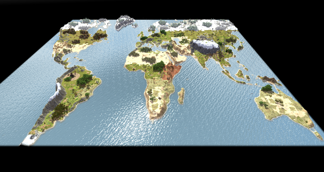
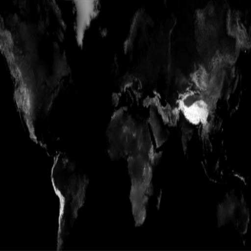
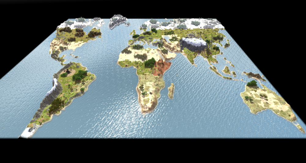
I tryed to make it a random map. This time I used Mercator projection with some adaptation. This is the result. I will upload soon on earth-maps 0.28.3. world.json world.js
-
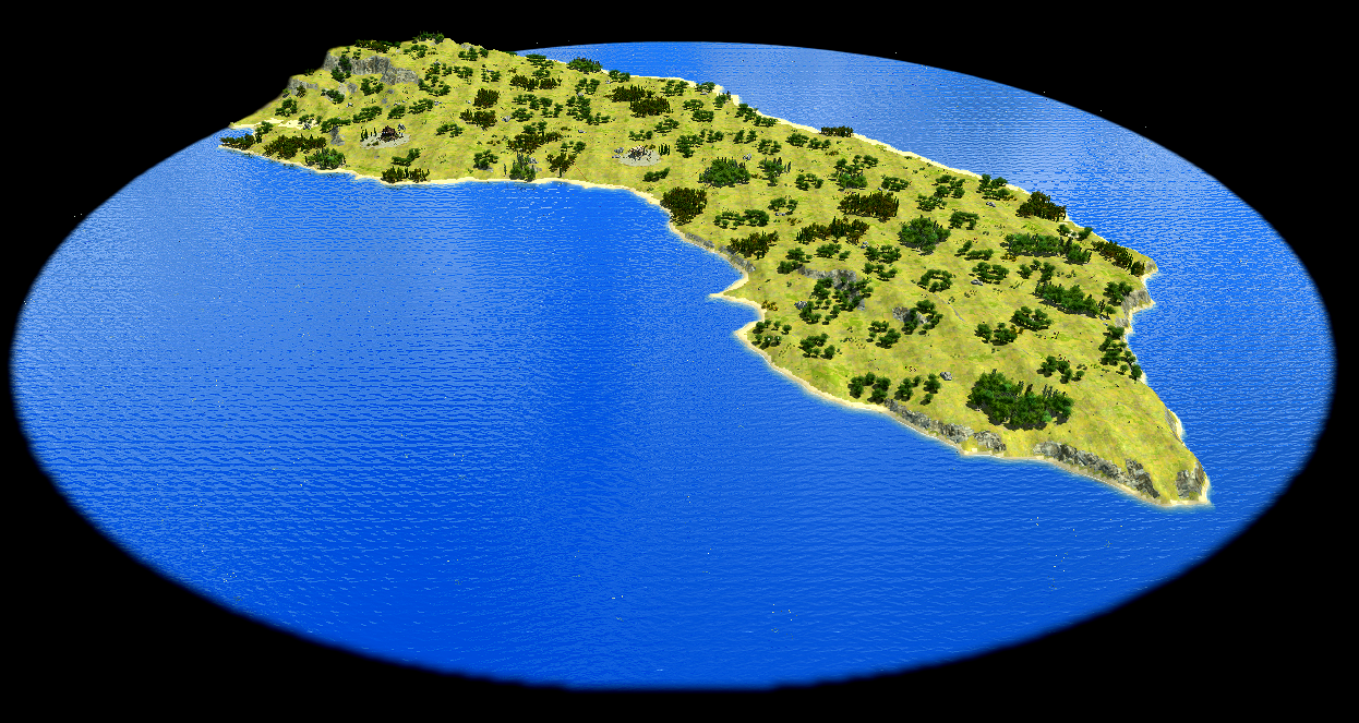
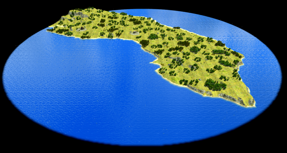
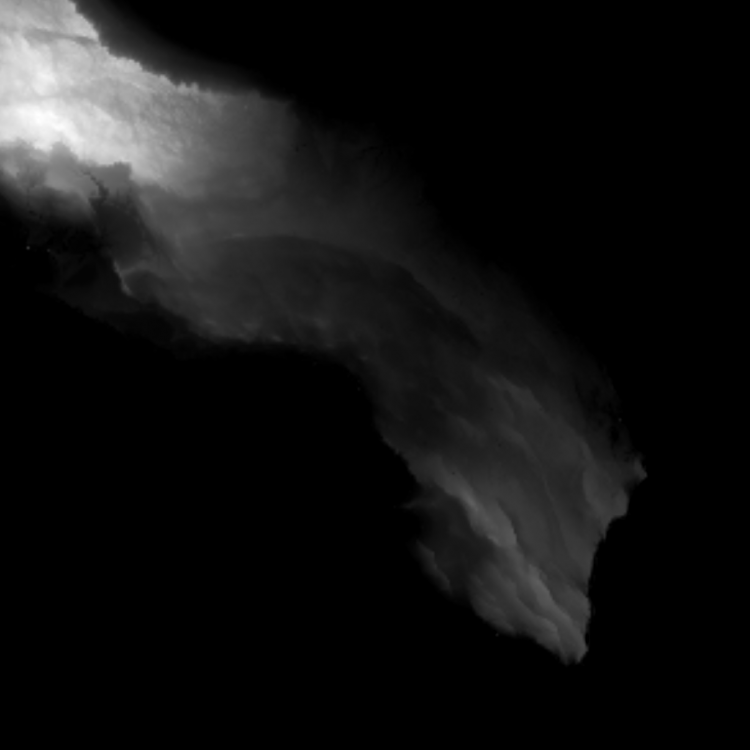
This map recreates historical Calabria — not the modern Italian region, but the ancient heel of the Italian peninsula, home to the Messapians and the Spartan colony of Taras (modern Taranto). Set between the Ionian and Adriatic seas, the terrain reflects the flat, sun-baked limestone plateau characteristic of the Salento, with open Mediterranean scrubland, scattered olive groves, and a coastline that made Taras one of the most prosperous trading ports of Magna Graecia. The map uses the Aegean biome, which fits the region's deep Greek cultural roots: by 400 BC, Calabria was thoroughly Hellenized, and Taras alone rivaled Athens in wealth and influence. To admins, please accept the new version of earth-maps mod. For players who want to play just now the new map, I append map files here (not the map preview) calabria.js calabria.json
-
On the download manager I get this error "Invalid mod: Failed to get metadata_blob from modFile", but I don't know why. Can you help me, please?
-
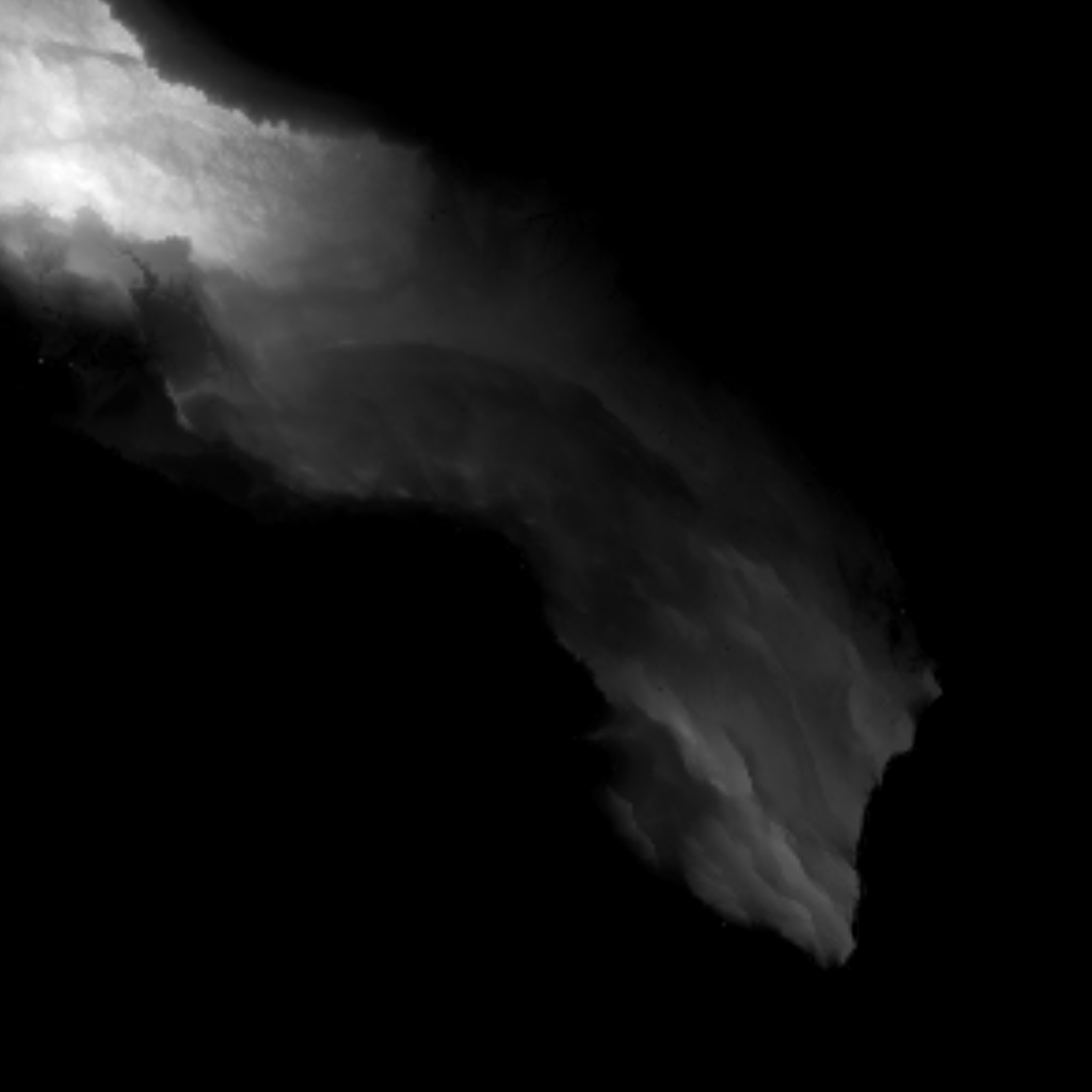
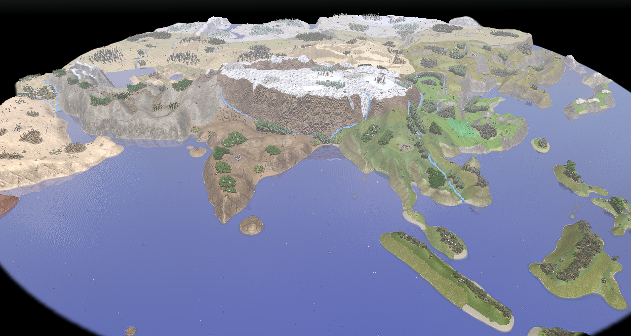
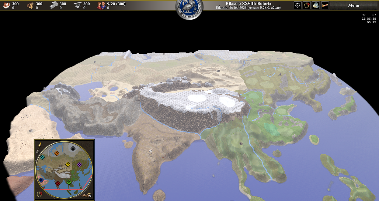
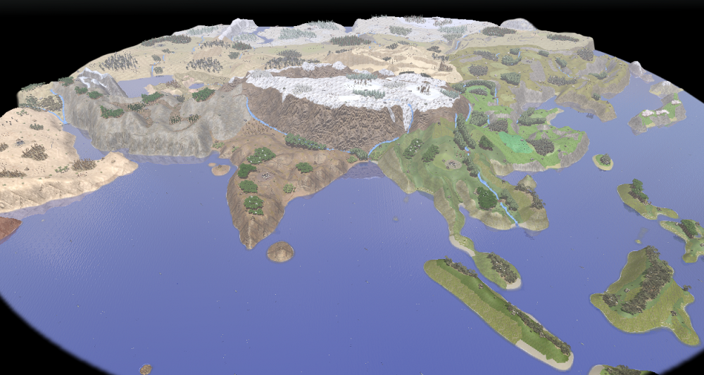
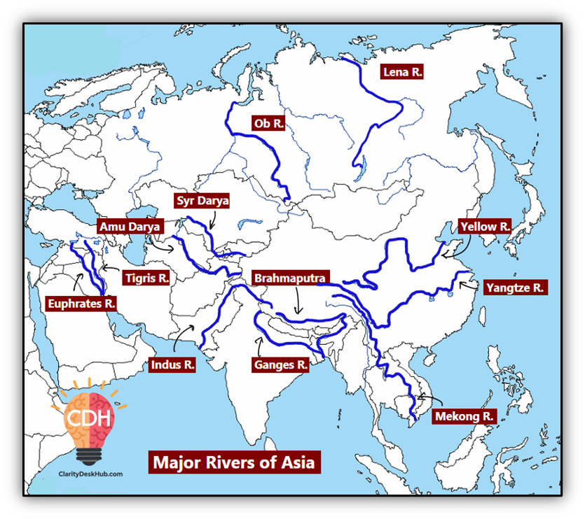
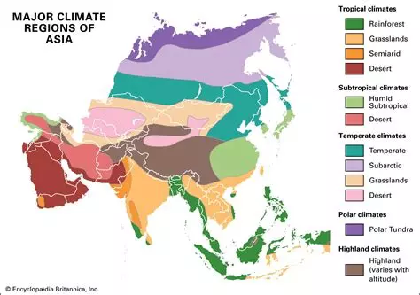
asia.xmlasia.pmp This map has 1024x1024 size. The first step was to add rivers correctly without geo-reference. I used this guide: Rivers are intentionally not crossable to make the map strategically more captivating so there are some bridges that are strategically pivotal. For biome assignment I started from a coarse reference map: and then I refined it zone by zone with Koppen-Geiger classification: https://commons.wikimedia.org/wiki/File:Koppen-Geiger_Map_v2_Asia_1991–2020.svg For fauna and flora, I used Claude AI as a lookup tool: I sent screenshots of the entities available in the game and asked it to match them to each biome and region. The results below reflect that process, with occasional liberties where the asset library has no close equivalent. For more infos: https://github.com/Baelish03/0ad-maps/blob/main/docs/Asia.md I attach .xml and .pmp files here and I will update mods on mod.io as soon as possible
-
I red all this page https://en.wikipedia.org/wiki/List_of_map_projections to find the best projection. Some considerations that bring me to chose sinusoidal: Sinusoidal is an equal-area as well as Lambert projection. Lambert is perfect till the first 45°, then is awful: to preserve areas it changes some states too much, like Australia. I start from Tangarm heighmapper. I searched a lot for alternatives with other projection, but there aren't. Tangram uses Mercator without geo-reference or GeoTiff, so I have only a png, and I changed it to a pseudo-sinusoidal manually. In the future I can use a real sinusoidal through a python script to automize the reprojection and apply what I learned in these two years (color curves in GIMP, ...), but for now I'll not recreate it. It's a too long work.
-
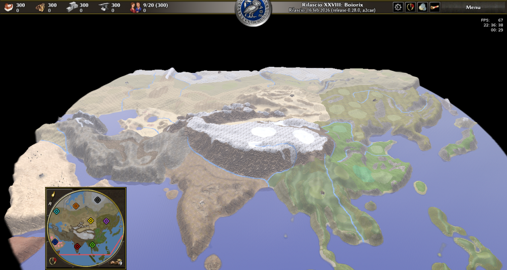
My biggest satisfaction will be to see at least one of these maps in MP lobby. There is no problem to maintain them, I'll do it with pleasure. I only ask to admins to accept the mod on mod.io, so it can reach more players. Thanks in advance. I really really appreciate that. And now an update on the latest project: Asia 1024x1024. All textures are done. Now I'll add entities and resources.
-
Usually not, but yesterday I travelled over 900 km by train to vote in my country (my country usually don't accept to vote remotely). Anyway, please vote on this poll. Thanks for your time. https://strawpoll.com/3RnYXRMVWye