Jump to content

Lion.Kanzen

Balancing Advisors
  • Posts

    25.221
  • Joined

  • Days Won

    291

Everything posted by Lion.Kanzen

  1. I made other quick montage to see q mix of Finnic + Mongolian. He looks a lot like Wusun.
  2. Siberian Hats clothes. photographer Alexander Khimushin has been traveling the world, visiting 84 different countries. Three years ago, inspired by the idea of documenting remote cultures that are slowly disappearing due to globalization, he began his The World in Faces project. Seeking out small, ethnic minority groups around the world, Khimushin shoots incredible portraits that both honor and immortalize their culture. Over the past 6 months, Khimushin immersed himself in the Siberian landscape, traveling 15,000 miles alone behind the wheel of an SUV to track down, and photograph, the indigenous people of this frozen land. Moving from the shores of Lake Baikal to the coast of the Japan Sea, he visited a variety of ethnic minority tribes, many of whose population is down to several dozen people
  3. Wusun readheads. making assumptions and by the description in the content of the facial description.
  4. The Hanshu and Shiji do not make any special note of the physical appearance of the Wusun. The first description of the Wusun's physical appearance is found in a Western Han dynasty book of divination, the Jiaoshi Yilin, which describes the women of the Wusun as "with deep eyesockets, dark, ugly: their preferences are different, past their prime [still] without spouse"[44][45] A later 7th century commentary to the Hanshu by Yan Shigu[46] says: Among the barbarians in the Western Regions, the look of the Wusun is the most unusual. The present barbarians who have green eyes and red hair, and look like macaque monkeys, are the offspring of this people.[46][47][48] Initially, when only a few number of skulls from Wusun territory were known, the Wusun were recognized as a Caucasoid people with slight Mongoloid admixture.[46] Later, in a more thorough study by Soviet archaeologists of eighty-seven skulls of Zhetysu, the six skulls of the Wusun period were determined to be purely Caucasoid or close to Some scholars have proposed that the Wusun may have been identical with the people described by Herodotus (IV.16-25) and in Ptolemy‘s Geography as Issedones. Their exact location of their country in Central Asia is unknown. The Issedones are “placed by some in Western Siberia and by others in Chinese Turkestan,” according to E. D. Phillips. Herodotus, who allegedly got his information through both Greek and Scythian sources, describes them as living east of Scythia and north of the Massagetae, while the geographer Ptolemy (VI.16.7) appears to place the trading stations of Issedon Scythica and Issedon Serica in the Tarim Basin. Chinese records first mention the “Ushi” in Andin and Pinlian (modern Pinlian and Guüan in the Peoples Republic of China) between the Lu-hun and Kuyan tribes. The transcription of Ushi means “raven generation”, and is semantically identical with U-sun – “raven descendants”. The presence of a raven as clan totem among the ancient Usuns is beyond doubt. In Usun legend, the ancestors of the Usuns were a raven and a wolf. This is reflected in the Usun-Ashina (Oshin) tamga with an image of raven. The first historical records concerning the Wusun, name them as a separate and distinct tribe of the Xiongnu confederacy, living on the territory of the modern province of Gansu, in the valley of the Ushui-he (Chinese Raven river). It is not clear whether the river was named after the Usun tribe or vice versa. Historical records also give us proof of this powerful force of the Wusuns that had went to battle with the Yuechis; “The Yue-Tchi, repulsed by the Wu-Suns in 130 B. C, hurled themselves upon Bactria” (see the notes to p. 119 : 13). “The Sacx were then masters of it and their dispossession resulted in pressing them in part into India where they founded a kingdom and also in part into the Pro-Pamirian valleys, especially that of the Oxus. The Yue-Tchi ruled over central Asia until 425 A. D. They were dispossessed in their turn by the Hoas, or Epthalite Huns” (White Huns). In addition to the Wusuns and Yuechis, there was another or multiple larger tribes that had occupied what the Chinese call the “Se nation”, and these people as whole are identified generally as Scythians, but by the Chinese as the Se. There was another group of Scythians who were different from the other Scyths and whom the Persians and the Greeks had called the Sacae or Sakas. It is said that the Saka period lasted until ca 200 BC when Wusun tribes moved into the area from the east. A genetic study published in Nature in May 2018 examined the remains of four Wusun buried between ca. 300 BC and 100 BC. The sample of Y-DNA extracted belonged to haplogroup R1. The samples of mtDNA extracted belonged to C4a1, HV6, J1c5a and U5b2c. The authors of the study found that the Wusun and Kangju had less East Asian admixture than the Xiongnu and Sakas. Both the Wusun and Kangju were suggested to be descended from Western Steppe Herders (WSHs) of the Late Bronze Age who admixed with Siberian hunter-gatherers and peoples related to the Bactria–Margiana Archaeological Complex
  5. Dahae/Scythian cap I hadn't noticed it was almost the same. Xiongnu Hunish Scythian Phrygian-Scythian
  6. Sogdians Iranian with Phrygian cape and Central asian. .
  7. System Embassy-Vassals. Yuenzhi style mercenary Yuenzhi Yuezhi initially migrated northwest into the Ili Valley (on the modern borders of China and Kazakhstan), where they reportedly displaced elements of the Sakas. They were driven from the Ili Valley by the Wusun and migrated southward to Sogdia and later settled in Bactria. The Greater Yuezhi have consequently often been identified with peoples mentioned in classical European sources as having overrun the Greco-Bactrian Kingdom, like the Tókharioi (Greek Τοχάριοι; Sanskrit Tukhāra) and Asii (or Asioi). During the 1st century BC, one of the five major Greater Yuezhi tribes in Bactria, the Kushanas (Chinese: 貴霜; pinyin: Guìshuāng), began to subsume the other tribes and neighbouring peoples. The subsequent Kushan Empire, at its peak in the 3rd century AD, stretched from Turfan in the Tarim Basin in the north to Pataliputra on the Gangetic plain of India in the south. The Kushanas played an important role in the development of trade on the Silk Road and the introduction of Buddhism to China Kangju (Iranian Sogdian like) According to 2nd century BCE Chinese sources, Kangju lay north of the Dayuan and west of the Wusun, bordering the Yuezhi in the south. Their territory covered the region of the Ferghana Valley and the area between the Amu Darya and Syr Darya rivers, with the core territory along the middle Syr Darya.[2] Since historians of Alexander the Great do not mention the existence of any political power in the area except the Khwarezmians, the Kangju must have appeared a little later.[2] It is likely that the state of the Kangju emerged during the great upheaval in Central Asia following the withdrawal of the Yuezhi from Gansu and then the Ili Valley after their defeat by the Xiongnu and Wusun respectively.[2] Chinese sources state that the Kangju were tributiaries of the Yuezhi in the south and the Xiongnu in the east.[2] Transoxian/ Sogdians The name Transoxiana stuck in Western consciousness because of the exploits of Alexander the Great, who extended Greek culture into the region with his invasion in the 4th century BCE. Alexander's successors would go on to found the Greco-Bactrian Kingdom, ushering in a distinct Greek cultural presence within Transoxiana that existed for over two hundred years. The city of A-Khanoum, situated on the Oxus in northern Afghanistan, remains the only Graeco Bactrian city to have been found and extensively excavated The Chinese explorer Zhang Qian, who visited the neighbouring countries of Bactria and Parthia along with Transoxiana in 126 BCE, made the first known Chinese report on this region. Zhang Qian clearly identifies Parthia as an advanced urban civilisation that farmed grain and grapes, and made silver coins and leather goods.[10] It was ruled successively by Seleucids, the Greco-Bactrian Kingdom, the Parthian Empire and the Kushan Empire before Sassanid rule. Camel archer Wusun The Wusun (Chinese: 烏孫; pinyin: Wūsūn; Eastern Han Chinese *ʔɑ-suən < Old Chinese (140 BCE < 436 BCE): *Ɂâ-sûn)[2] were an ancient semi-nomadic steppe people mentioned in Chinese records from the 2nd century BC to the 5th century AD. The Wusun originally lived between the Qilian Mountains and Dunhuang (Gansu) near the Yuezhi. Around 176 BC the Yuezhi were raided by the Xiongnu, who subsequently attacked the Wusun, killing their king and seizing their land. The Xiongnu adopted the surviving Wusun prince and made him one of their generals and leader of the Wusun. Around 162 BC the Yuezhi were driven into the Ili River valley in Zhetysu, Dzungaria and Tian Shan, which had formerly been inhabited by the Saka (Scythians). The Wusun then resettled in Gansu as vassals of the Xiongnu. In 133–132 BC, the Wusun drove the Yuezhi out of the Ili Valley and settled the area. Sinologist Victor H. Mair compared Wusun with Sanskrit áśva 'horse', aśvin 'mare' and Lithuanian ašvà 'mare'. The name would thus mean 'the horse people'. Hence he put forward the hypothesis that the Wusun used a satem-like language within the Indo-European languages. However, the latter hypothesis is not supported by Edwin G. Pulleyblank.[7] Christopher I. Beckwith's analysis is similar to Mair's, reconstructing the Chinese term Wusun as Old Chinese *âswin, which he compares to Old Indic aśvin 'the horsemen', the name of the Rigvedic twin equestrian gods.[8] Étienne de la Vaissière identifies the Wusun with enemies of the Sogdian-speaking Kangju confederation, whom Sogdians mentioned on Kultobe inscriptions as wδ'nn'p. Wδ'nn'p contains two morpheme n'p "people" and *wδ'n [wiðan], which is cognate with Manichaean Parthian wd'n and means "tent". Vaissière hypothesized that the Wusun likely spoke an Iranian language closely related to Sogdian, permitting Sogdians to translate their endonym as *wδ'n [wiðan] and Chinese to transcribe their endonym with a native /s/ standing for a foreign dental fricative. Therefore, Vaissière reconstructs Wusun's endonym as *Wəθan "[People of the] Tent(s)".[9] Summary Asian people with Han style with Sakas-Kushan Armor and Indian Iranian faces. Very like to Hephaltites.
  8. Fighting between Xiongnu and Han army near the Talas River in autumn and winter of 36 BCE, present Taraz city of Kazakhstan. Zhizhi Chany is headed by Gang Yanshou and Cheng Tang. Xiongnu army consisted of 3000 Xiongnu, 10000 Kangju warriors(very like Sogdian), and the Chinese army consisted of 40.000 land forces, a few numbers of cavaliers, and support warriors from allies of Tarim basin. Talas river was the core point of Chinese warriors to pass through the northern border. Later, Tang warriors passed over again to the north and fought with Arabian warriors near the Talas river in 751 CE. Zhizhi and Huhanye’s two brothers disputed the Xiongnu throne in 56 BCE and incited sedition. Zhizhi Chanyu was defeated in this fight and moved to the west. He reached to Semirechiye and continued his political and military activity. First of all, he controlled the Kangju people, and defeated the Talas river, he built the fortified city which is circled by an earthen wall, double wooden abates, and a watchtower for 2 years 500 people. Kangju (Chinese: 康居; pinyin: Kangju; Wade–Giles: K'ang-chü; Eastern Han Chinese: kʰɑŋ-kɨɑ < *khâŋ-ka (c. 140 BCE)[1]) was the Chinese name of a kingdom in Central Asia during the first half of the first millennium CE. The name Kangju is now generally regarded as a variant or mutated form of the name Sogdiana. According to contemporaneous Chinese sources, Kangju was the second most powerful state in Transoxiana, after the Yuezhi.[2] Its people, known in Chinese as the Kāng (康), were evidently of Indo-European origins, spoke an Eastern Iranian language, and had a semi-nomadic way of life. They were probably identical to the Sogdians In 36 BCE, Chen Tang the deputy governor of the Western Regions claimed that Zhizhi was planning to build up a great empire and proposed a preemptive attack. He rises up an army and marched west on both sides of the Tarim Basin, reunited near Kashgar, and moved across Kangju territory reaching the western shore of Lake Balkhash. The Chinese army camped about 30 li from Zhizhi’s fortress and the two sides exchanged rather hypocritical messages. They then moved to within 3 li of Zhizhi and fortified themselves. The Xiongnu sent out several hundred cavalries and infantry, but they were driven back into the fort and managed to burn part of the wall. That night several hundred Xiongnu horsemen tried to escape but all were killed. Zhizhi himself thought of escape but decided to remain because he knew that he had too many enemies in the surrounding country. Zhizhi’s queen and concubines shot arrows from the ramparts. Zhizhi was seriously wounded by an arrow. Shortly after midnight, the outer walls were breached and the Xiongnu retreated to the inner citadel. At this point several thousand Kangju horsemen appeared and attacked the Chinese in the darkness but were unable to accomplish anything. When dawn broke parts of the inner citadel were on fire. The Chinese piled dirt on the citadel walls and clambered into the citadel. Zhizhi and a hundred or so warriors retreated into the palace. The palace was set on fire and attacked from all directions and Zhizhi was mortally wounded. 1,518 Xiongnu died, including the crown prince and Zhizhi’s wives. 145 were captured and well over 1,000 surrendered. The soldiers were allowed to keep their booty and the surrendered Xiongnu were distributed to the fifteen Tarim city-kingdoms that participated in the battle. Zhizhi was the only Xiongnu Chanyu killed by the Chinese. Bayan Bulag settlement Xiongnu period walled settlement. Situated on the foot of a small hill of the southern slope of the Khorkhiin Nuruu mountain range, the north side of Borzon Gobi, in 30 km south of the Nomgon sum center, Umnugobi aimag. As the ruin was damaged by rainfall, wind, and animal foot, the north wall is comparatively complete, and most parts of the west and the entire east wall are blurred. The north part of the wall is 180 m in length, 10-16 m in width, whereas the west part is 110 m in length. The wall is built up directed to the straight north. This site was first explored and described by Kh. Perlee, in the 1950s. As a result of excavating in a small area of the site, Perlee found some fractions of pottery similar to Xiongnu, a bronze arrow with a metal filament, pottery, and slag. Later, in 1976, D.navaan, a Mongolian archeologist studied and found some items including wushu coins, some pieces of bronze articles, and pottery sherds, and concluded that is dated to the Xiongnu period and 13-14th c. CE. in 1990, Mongolian-Russian archeologists revisited the site, determined its dimension and structure, excavated, and found some interesting findings such as 24 kinds of the arrowhead, a bronze, mirror, some fraction of 50 different designs of potteries, a bronze seal, some roof-tiles and wushu coins. Afterward, D. Tseveendorj, Z. Batsaikhan, and Ts. Turbat drew a conclusion on the basis of some written sources, that this settlement could be the Zhao Xin cheng city, which is dated to the Xiongnu period and was dedicated to Zhao Xin who was a military commander and joined Han from Xiongnu in 123.
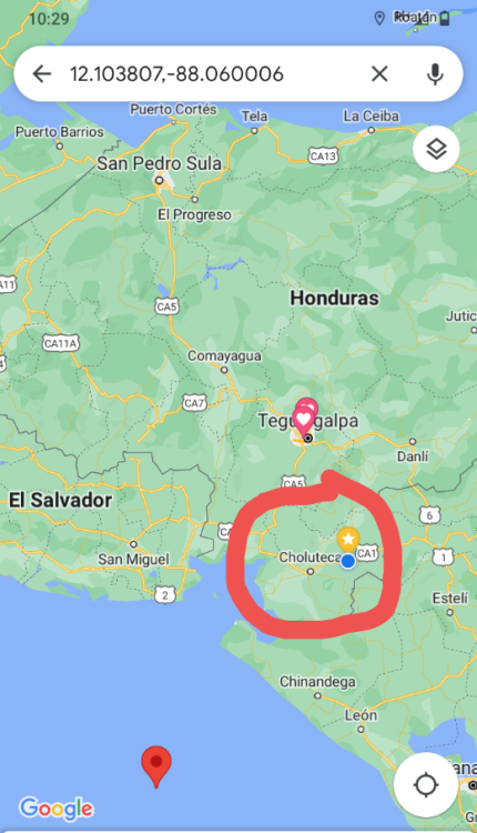
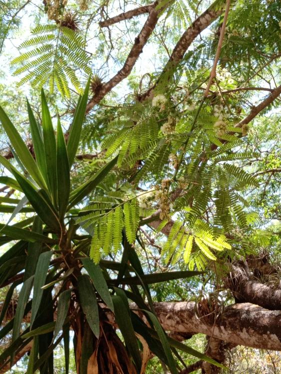
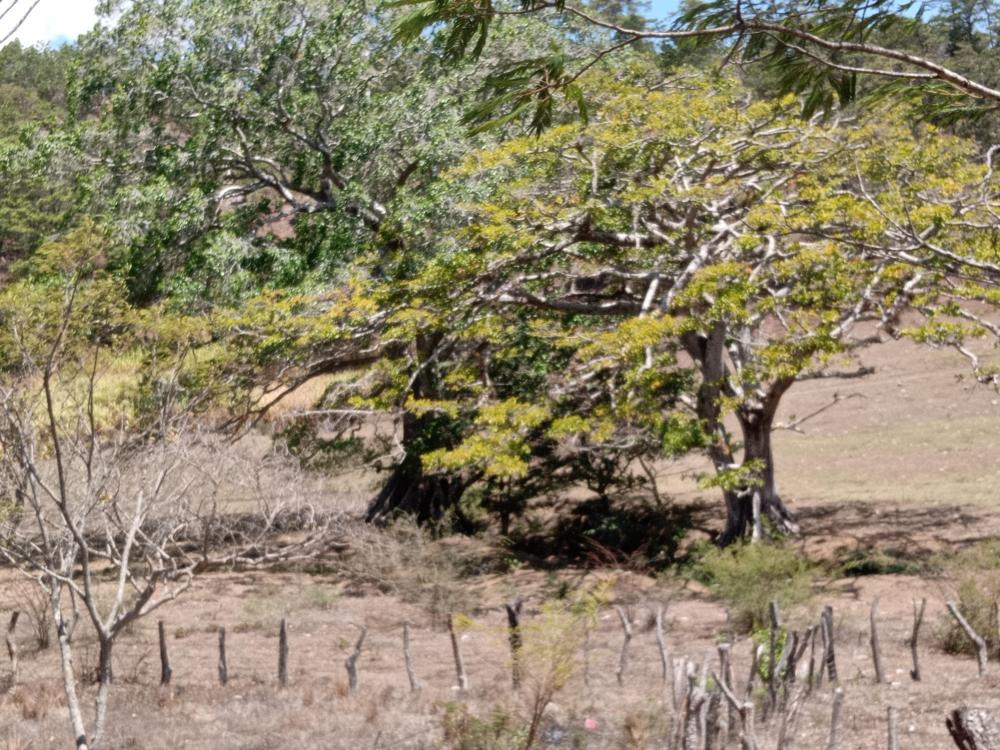
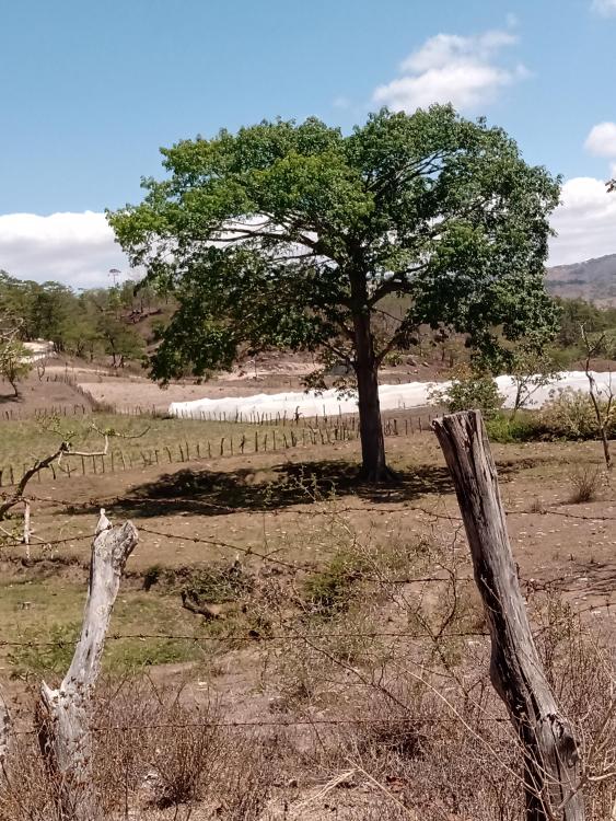
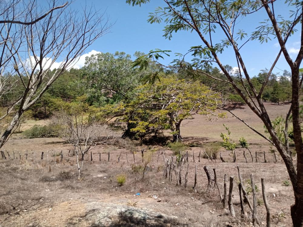
  9. My country was the frontier of the Mayan world due to the fact that it had very few habitable areas. The valleys are very small For example, the Sula Valley is almost like a tropical Nile. a very good area for a jungle river style map with mountains around. Hydrologically speaking, the area has two of the most important basins of Honduras: the basins of the Ulúa and Chamelecón rivers, leaving the area vulnerable to flooding, mainly in the rainy season. Before the arrival of the Spanish, the Sula Valley was home to approximately 50,000 native inhabitants.[5] The area that is home to the modern city served as a local trade hub for the Mayan and Aztec civilizations. The Spanish conquest brought about a demographic collapse from which the native population would never recover. On 27 June 1536, Don Pedro de Alvarado founded a Spanish town beside the Indian settlement of Choloma, with the name of Villa de Señor San Pedro de Puerto Caballos (modern San Pedro Sula). The new town had 35 Spanish citizens, and Alvarado allocated 200 of his slaves to help build the new town and work the surrounding fields. He sent out expeditions into outlying regions to secure the new town, extend the area of Spanish domination, and commandeer supplies. Additionally, San Pedro Sula was left exposed to raids by pirates and French, Dutch, and English mercenaries. By the mid-18th century, the Spanish government decided to build a number of coastal fortresses to curb English attacks. One of these fortresses, the Fortaleza de San Fernando, was built in Omoa, less than 50 miles from San Pedro Sula. The subsequent increase in trade supported an increase in population from 70 inhabitants in 1714 to 357 in 1789 The valley's ecosystem is mainly composed of tropical dry forests. This gameplay inspired me. You have ideas for maps @Lopess? https://en.m.wikipedia.org/wiki/Sula_Valley
  10. Burials of the Hsiung-nu Cemeteries of the Hsiung-nu were discovered by researchers associated with the Kyachta museum investigating the Trans-Baikal region in the late 1800s. One of the leading forces behind the discovery was anthropologist J.D. Talko-Grinzevich; manager of the Kyachta museum. In 1924, an expedition headed by P. Kozlov found Hsiung-nu tombs in the Noin-Ula mountains of Northern Mongolia. The dead had been buried together with great riches, such as carpets, silver plates and items made from nephrite, which is one of two different minerals commonly known as jade. The Noin-Ula discovery helped refuel interest in the Hsiung-nu, and from 1928 and onward several archaeological expeditions devoted to the Hsiung-nu were launched. The Ivolga Complex The Ivolga Complex is one of the most extensively investigated Hsiung-nu sites. The primary parts of the site is a large fortress, a smaller fortification, and a cemetery. One of the chief archaeologists here has been Professor A. Davydova. The fortress The large fortress is located in the Selenga River Valley, approximately 16 km from Ulan-Ude, which is the capital city of the Republic of Buryatia in Russia. The fortress measures circa 350 meters from north to south, and roughly 200 meters from west to east. There are four defensive ramparts, with a breadth of 35-38 meters. The creation of the fortress site must have been highly organized, sine the dwellings are neatly placed in rows and these rows are forming blocks. During excavations of the southern part and inside part of the fortress (total area of circa 7,000 sq m), 600 pits and 54 dwellings were investigated by the archaeologists. Each dwelling had a fireplace in the northwestern corner, made out of slabs of stone. Archaeological findings show that there were people living in the fortress who were engaged in agriculture, cattle-breeding, hunting, and fishing. Iron and bronze metallurgy was also carried out here, and jewelry was produced. In addition, there are square fortresses belonging to the Xiongnu age, the Khureet Dov fortress is located 18 km to the south of the iron-smelting site, and the Burkh fortress is located 22 km to the north of it. Page top. 3. Archaeological Results. 3.1. Introduction.
  11. back to the topic of Fortress. The Ivolga Fortress. The Ivolga fortress (Russian archaeological name for sites of this type is “gorodishche”, fortified settlement) became known to science in the twenties of our century, after G.P. Sosnovsky had discovered there three dwellings in 1928 and published the results of his excavations. In 1949 and 1950 a group specially organised for the investigation of the gorodishche. What's a gorodishche? Gorodishche Urban Settlement, a municipal formation which the town of district significance of Gorodishche in Gorodishchensky District of Penza. I'm good at guessing. It even has the circular shape. It is not always like this but it is a town city.
  12. Huns / Huna / Xiong. The Kushan monk, Zhu Fahu from Dun Huang, translated "Tahagataguhya-sutra" from Sanskrit to Chinese in 280 AC. In this document, he translated the Sanskrit word "Huna" to "Xiongnu". He did it again in 308 AC by the translation of "Lalivavistara". In a not very distant past, these "Huna" had driven away the Yuezhi people from their original land with their ancestors' graves. Zhu Fahu was a Kushan and he descended directly from Yuezhi. He may not have been in doubt, as to who was these "Xiong Nu", and what was their real name. Indian sources also described the Xiongnu as "Huna". However, perhaps "Hun" never the less is a general term. Namely, if we think that "Hun" is a word of Indo-European origin connected with the English words hungry and hunger. Then "Hun" will only mean a people, who robs and steals because they are hungry. But it may be that the Xiongnu people became known in Europe under their real names, as they called themselves, which is "Hun https://dandebat.dk/eng-dan13.htm But it may be that the Xiongnu people became known in Europe under their real names, as they called themselves, which is "Hun". "Wei-Shu" is the story of the Wei Dynasty. It was written about the years 437 AC - 457 AC. It says: "Earlier, Xiongnu killed the king (of Sogdiana) and took the land. "King Huni" is the third ruler in the line." We remember Saxo's tale of King Frode and the war between the Danes and the Huns. Here he wrote: "Two years had "King Hun" devoted to preparations for his campaign against the countries around the Baltic Sea." When one read this, it is hard not to feel, that it is too simple just to call the king of the Huns for "King Hun." It must be something, the old storytellers have added themselves, we are tempted to think. But, as one can see, Saxo Grammaticus was very well informed. Some of the Hun kings were actually named "Huni" or perhaps "Hun". Therefore, it is possible that the Huns simply got their name from their king. In the ancient book "Han Shu" the scholar Yan Shigu has added a comment about Wusun's appearance: "Wusun in the western areas is the same as the "Rong" people (old name for different tribes and peoples around China). Nowadays, these "Hu" people have green eyes, red beard, their appearance is like bearded monkeys, and they are originally of this kind." Zhang Qian traveled to the west on behalf of the Han Emperor in order to meet the Yuzhi and create an alliance against Xiongnu. He also met the Wusun and reported that: "The people have "pig heads", they are cunning as wolves and highly unreliable. They are very prone to pillaging, and they are as a nation typically violent." Chinese archaeologists have informed, that Wusun was a Caucasian type of people with a short skull. Folowing the nature of the case they cannot say anything about the colour of their eyes and hair. Accurate, as always, Zhang Qian reported, that there were 120,000 Wusun families, and their army numbered 188,000 mounted men. The country was cold and rainy, but with extensive pastures. The mountains were covered with pine forest. Wusun raised horses. Rich men could own up to five thousand horses. Wusun recognized Xiongnu's supremacy, but they had their own king, who bore the title Kiun-mo. He named himself as Son of Heaven. The Chinese sought to create an alliance with Wusun directed against Xiongnu, the Huns. To this end, the Chinese court in 107 BC sent a princess the long way from the imperial capital Xi'an to Wusun's cold rainy country. The princess wrote a poem: "My family has married me away Helpless I am, can do nothing In a distant exotic kingdom Married to the King of Wusun My home is simple The walls covered with felt and not with silk My daily food is pork Milk I drink to the food I am burdened by dark thoughts My heart is heavy with sorrow If only I were a yellow stork So I would fly back to my nest." The new queen was entitled kiun-di. For her pleasure, a Chinese palace was built in the camp of the Wusun king. The royal residence was of the Chinese called "The Palace in the Red Valley." It was located in some distance from the salt lake. The great traveler Zhang Qian was held as a prisoner by Xiongnu for 10 years. There he heard the following story about Wusun: "When your servant was a prisoner of Xiongnu, he heard, that the king of Wusun, who bore the title" Kun-mo", and that kun-mo's father was the head of a small state at Xiongnu's western border. Xiongnu-attacked and killed his father and Kun-mo was at his birth thrown away in the wilderness, where a black bird (a raven?) brought him meat, and a she-wolf nourished him with milk. Shan-yu was the title of the king of Xiongnu. He considered this to be a wonder, and after he had brought up the boy, he made him a military leader, in which capacity he distinguished himself on several occasions. Shan-yu re-established his father's people and made him a governor of the western fortified camp. As he received tax from his people, the Kun-mo could attack the small neighbouring states with tens of thousands of archers, he collected experience in warfare, and after the old Shan-yu's death, he withdrew to a distant place and refused to show up at the Xiongnu court. Xiongnu ordered picked troops to attack him, but because they were unable to overcome him, they considered him as a spirit, to whom they did wisely to keep a certain distance and not attack him seriously. Xiongnu's Shan-yu continued to claim nominal supremacy over Kun-mo and his Wusun people." Thus was the great traveler, Zhang Qian's report to his emperor. No one knows what since happened to the Wusun people. In 630 AC the Khan of the Western Turks could receive the Buddhist monk, Xuanzang, on the banks of the salty lake with the Turkish name "Issyl Kul". On the plains near the Salty Lake are the stone men. They can be found in many places in Central Asia. Some of them are undoubtedly sat by the Western Turks. Some of them are probably also made by those who lived there before Wusun came. It was customary for some Indo-European peoples to erect stones over brave men and create gods and ancestors in stone - a practice which the ancient Greeks had perfected. The Chinese historian Sima Qian described the Xiongnu in Chapter 110 of his "Historical Records", "Shi Ji": "From the King and downward they all ate the meat of their livestock, and clothed themselves with their skins, which were their only dress. The strong ones ate the fat and choose the best pieces, while the old and weak ate and drank, what was left. The strong and robust were held in esteem, while the old and weak were treated with contempt." They look like a mix between Scythians and Turkish people. https://dandebat.dk/eng-dan13.htm
  13. When the Xiongnu appeared in Mongolia and Transbaikalia (dates of Xiongnu archeological sites, second century bc to the first century ad), they already represented a multi-ethnic tribal association with a complex history. They subdued, conquered, and consolidated many tribes known to ancient Chinese chroniclers, e.g., Ivolga fortress Xiongnu Trans-baikal. https://kronk.spb.ru/library/davydova-minyaev-2008-ris.htm https://kronk.spb.ru/library/davydova-minyaev-2008-cat.htm Han Dynasty China was not the only nation, which suffered from the attacks of the Xiongnu. Many people in Asia were exposed to Xiongnu's aggressiveness, especially the city-states in the Tarim Basin. Xiongnu drove the Yuezhi people from their original homeland in northern Gansu. There can be no doubt, that the greatest threat to the peoples of Midgaard was the Xiongnu. They may be a possible bid for the Jotuns or at least some of them. Russian archaeologists have excavated many Xiongnu settlements in the Ulan-Ude region near Lake Baikal. Here have been Xiongnu settlements until well into the Middle Ages. The Xiongnu fortress by Ivolga is located 16 km. from Ulan Ude by the Selanga River. It is square with dimensions of 350 x 200 m., and it has a moat all around. Within the ramparts, many houses were half dug down in the surface, of which 54 have been excavated. Each house had a stone fireplace in its northeastern corner. At Ivolga they buried their dead on flat terrain, they were not placed in burial mounds. Many graves were in groups. There was a central grave, with a probably high-ranking person in the middle; which was surrounded by smaller accompanying graves, which in general contained the bodies of women, children and young people. accompanying graves showed signs of a violent death. It looks like that the Ivolga Xiongnu had the practice, that when a high ranking person died, all his wives, mistresses, slaves and apparently also some children had to follow him to the other world. "Xiongnu" means literally according to the Chinese character something like "Slaves of the Peoples". However, there is no doubt, that this is not their real name, as they called themselves. It is a somewhat condescending name, which the Han Dynasty Chinese gave them, just in the same way as they gave names to many other peoples around their borders. Or the characters were used as a kind of letters, so that the sounds they represented sounded like their name. In "The Silk Road", edited by Susan Whitfield, Etienne de la Vaissiere explains the Xiongnu's real name. There have been found a Sogdian letter from the fourth century, which refers to the Xiongnu's looting in connection with the Jin Dynasty's collapse also in the fourth century. The letter mentions the Xiongnu with the term "Xwn", which is the Sogdian spelling of the word "Hun". The author of the letter proves otherwise a first-hand knowledge of events. Therefore, he must be considered as a very reliable source. https://dandebat.dk/eng-dan13.htm
  14. No, not anymore, they would already be settled. Visual example?
  15. Like pyramids and Temples...both Mini and giant.
  16. that's what the post says, At some point the nomads settle. But his way of managing is looting and demanding tribute. At least the ones from Eurasia. The Huns and Sarmatians are the only ones who didn't leave much evidence behind. Others like Xianbei, Xiongnu and Kushans, Scythians. They got to do it. In fact Xianbei ended up creating a northern kingdom with people of the Han ethnic group.
  17. Inkcskape Is free. Here is equivalent how a did. Other of my symbols is just my handrawring.
  18. Mesoamerican average fashion or standard @wowgetoffyourcellphone I once wondered how they moved things without the wheel and pack animals. So did those on Rapa Nui Island too.
  19. I found some references for artistic reasons in wargaming figures. https://www.firstlegionltd.com/lateromanempire.aspx Centurion. The army. I quite liked this one.
  20. Dahae archers ironically i found units in our forum. Delenda Est
×
×
  • Create New...