Search the Community
Showing results for tags 'procedural heightmap'.
-
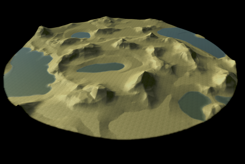
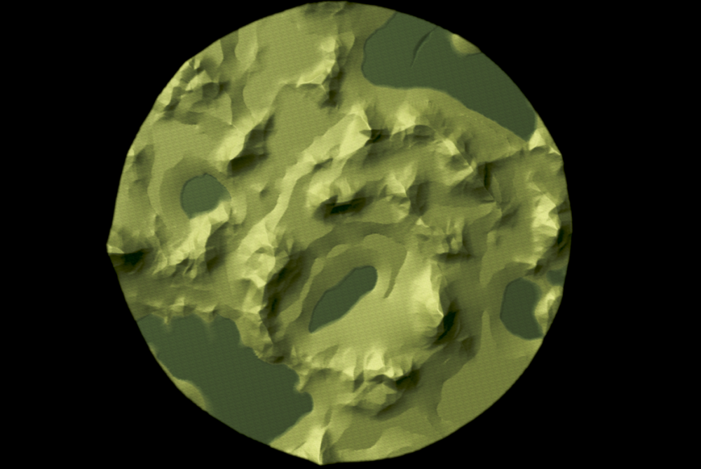
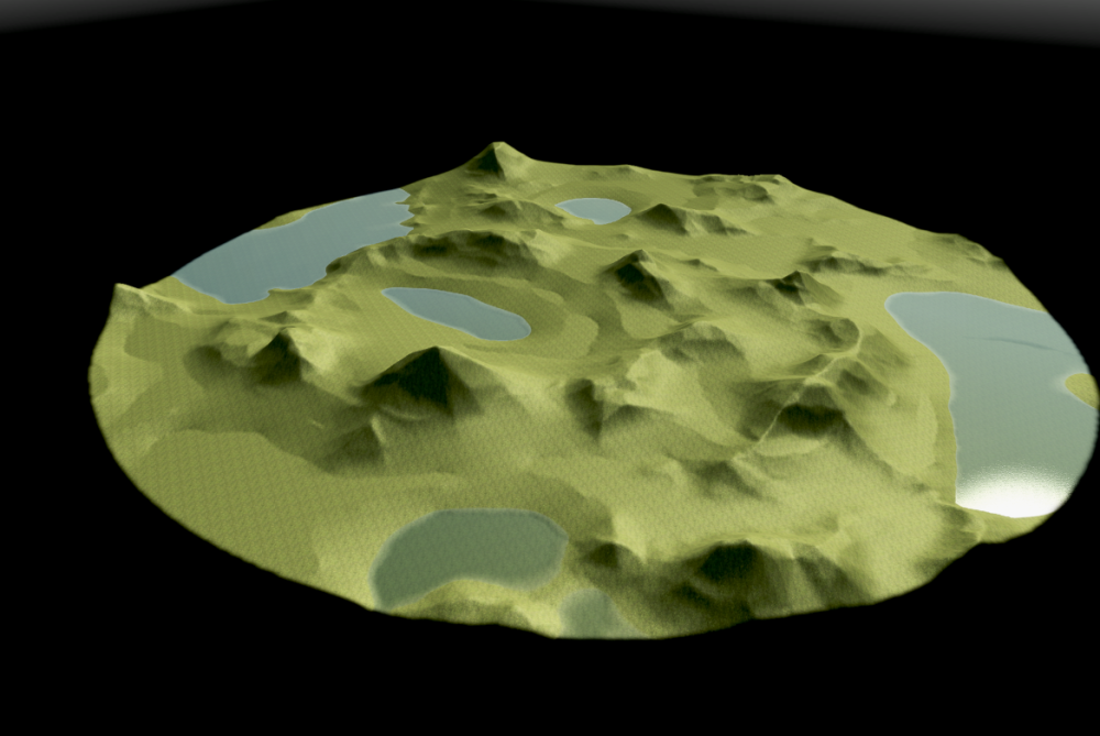
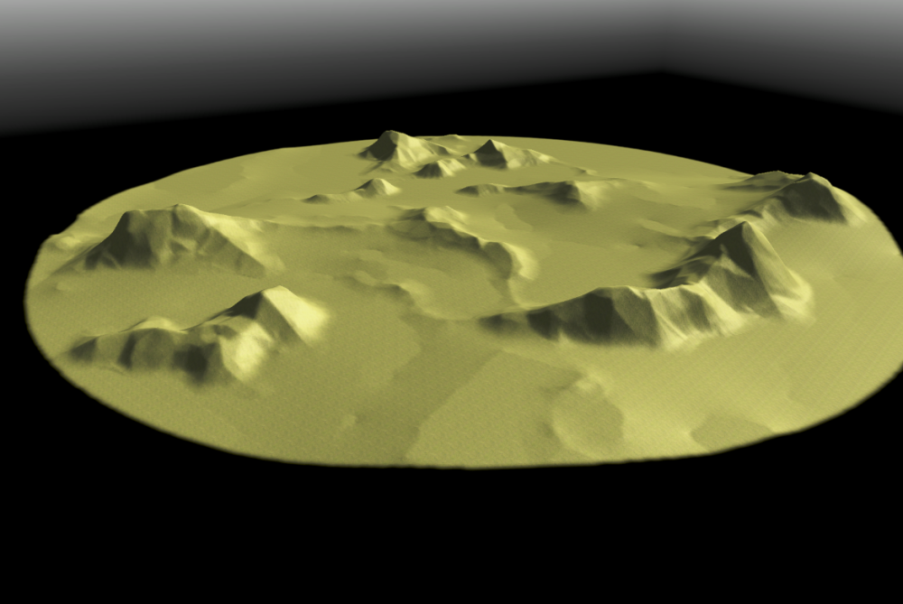
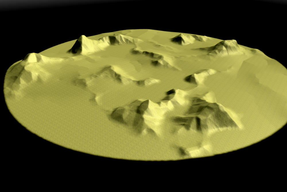
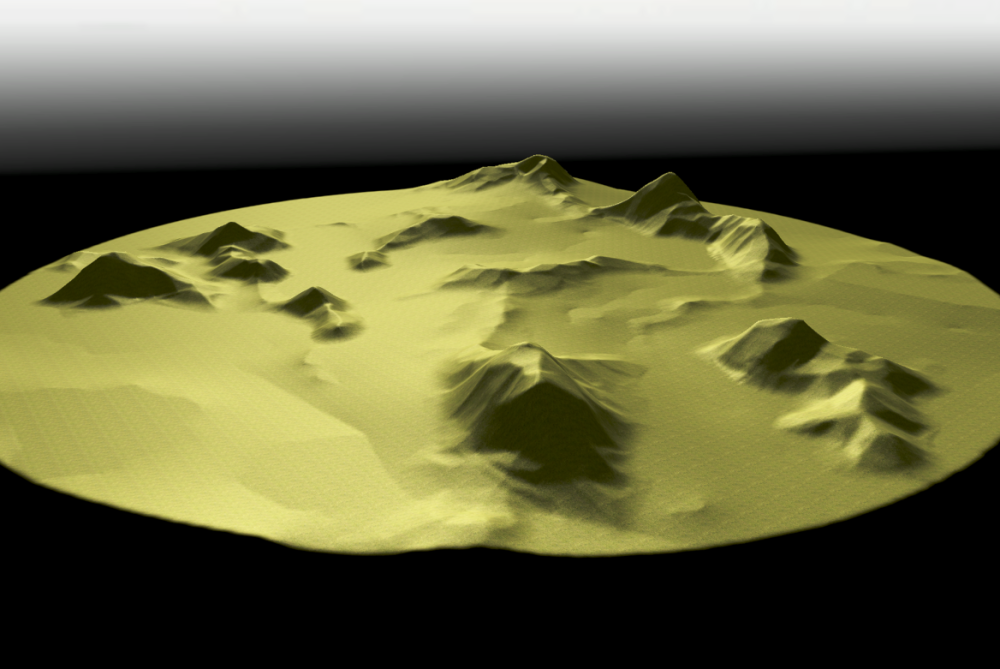
Hi! I'm currently coding a python plugin for GIMP to help create elevation maps with mountains. The aim is not only to picture realistic mountains, but also to make them suitable for interesting game-play. I think that mountains and relief should not just serve as obstacles, but as tactical features where one can use elevation to it's advantage. Right now, the plugin only creates one type of mountains, mainly rocky / faceted mounts, but with a lot of possible variations inside that type. I'll soon add some erosion factors which will allow to make hills and older mountains. The first version of the plugin should also have an option for symmetrical height-maps. For now, the process is mainly random, i.e. procedural. But a lot of parameters are tweak-able (although I'm trying to simplify things a bit for the interface). Most notably, you can let the plugin choose it's seeds for the random generator well... randomly, and once it produces an interesting configuration you can fix some seeds and let the generator explore other variants inside that particular configuration. If that sounds complicated, it'll become clearer once you can try it. :-) Please note that the plugin only creates the height-map, it doesn't do any import into the Atlas. See this thread for that part, and scroll down to my tutorial for best quality import. But enough explanations, here are a few raw shots from 0 A.D's Atlas. Most mountains shown here are climbable.
- 17 replies
-
- 5
-


